Transport Functions
Port
Road
Hub Profile
Place type
Provincial seat
Region
Saratov Oblast
Population
13,437
Time zone
Europe/Saratov
Elevation
39 m
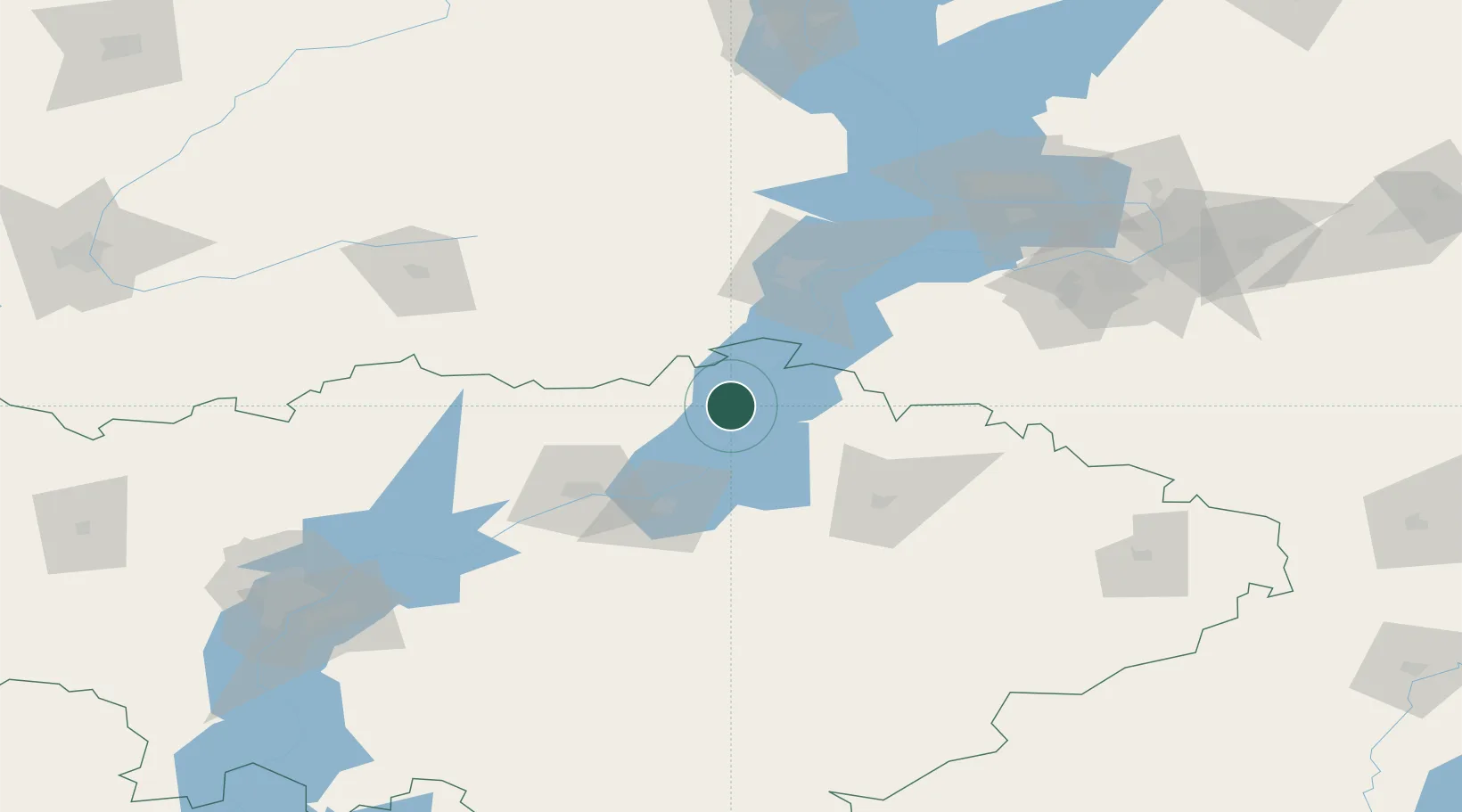
Location
Nearby Logistics Neighbours
Ports
- 1Rostov-Na-Donu842 km
- 2Azov862 km
- 3Taganrog880 km
- 4Yeysk953 km
- 5Mariupol964 km
Airports
- 1Balakovo Airport74 km
- 2Bagay-Baranovka Air Base86 km
- 3Samara Kryazh Air Base151 km
- 4Gagarin International Airport157 km
- 5Bezymyanka Airfield170 km
DatabookThe Record of Consolidated Knowledge
Russia beyond logistics?