Transport Functions
Rail
Road
Airport
Hub Profile
Region
ULY
Logistics facilities
2
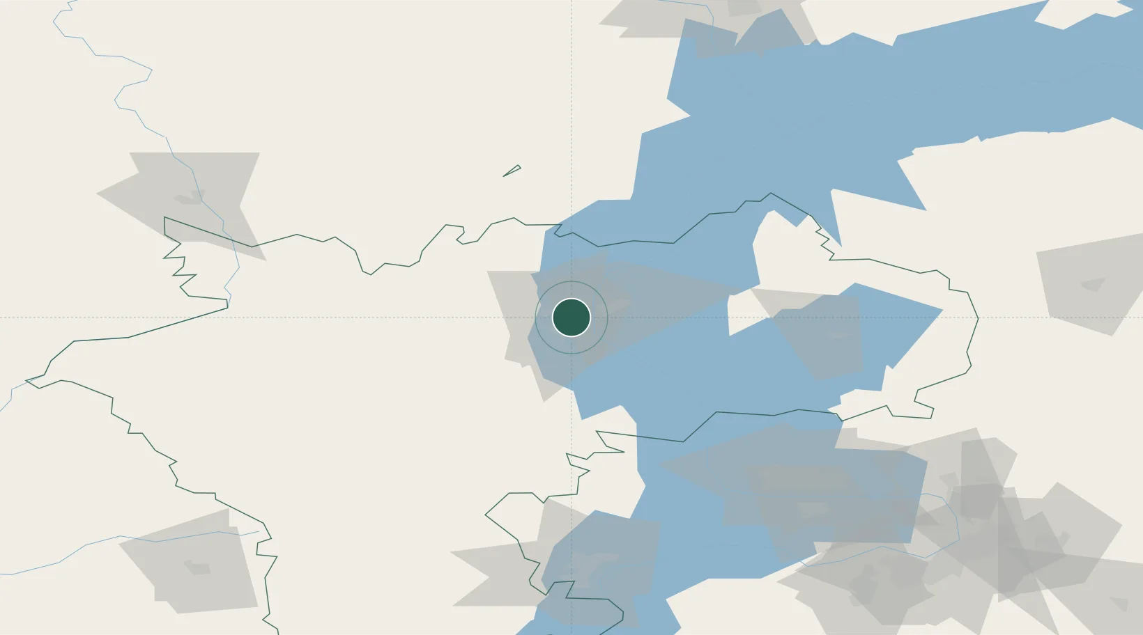
Location
Nearby Logistics Neighbours
Cities
- 1Tolyatti109 km
- 2Tol'yatti119 km
- 3Volzhsk171 km
- 4Zelënodol'sk171 km
- 5Samara175 km
Ports
- 1Rostov-Na-Donu998 km
- 2Azov1016 km
- 3Taganrog1028 km
- 4Yeysk1101 km
- 5Mariupol1103 km
Airports
DatabookThe Record of Consolidated Knowledge
Russia beyond logistics?