Transport Functions
Rail
Road
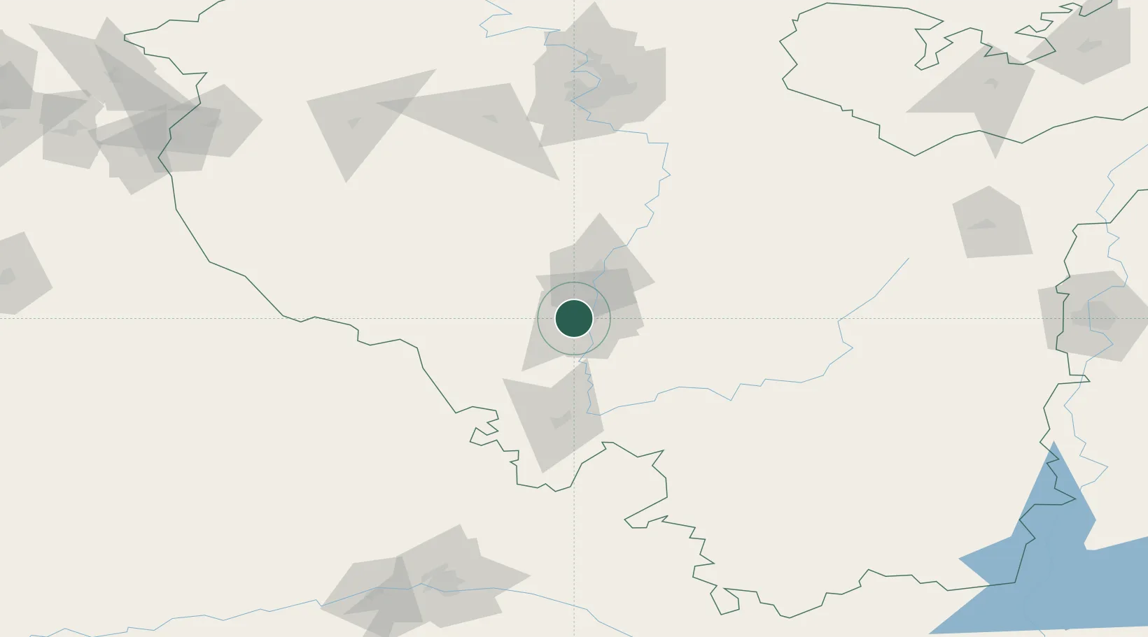
Hub Profile
Place type
Provincial seat
Region
Bashkortostan Republic
Population
159,893
Time zone
Asia/Yekaterinburg
Elevation
151 m
Location
Nearby Logistics Neighbours
Cities
- 1Abdulino150 km
- 2Chërnyy Otrog169 km
- 3Orenburgskiy179 km
- 4Urussu206 km
- 5Satka275 km
Ports
- 1Rostov-Na-Donu1337 km
- 2Azov1359 km
- 3Taganrog1381 km
- 4Yeysk1454 km
- 5Arkhangels'k1510 km
Airports
- 1Ufa International Airport129 km
- 2Orenburg Central Airport181 km
- 3Magnitogorsk International Airport190 km
- 4Buguruslan Severny Airport235 km
- 5Bugulma Airport244 km
DatabookThe Record of Consolidated Knowledge
Russia beyond logistics?