Transport Functions
Rail
Road
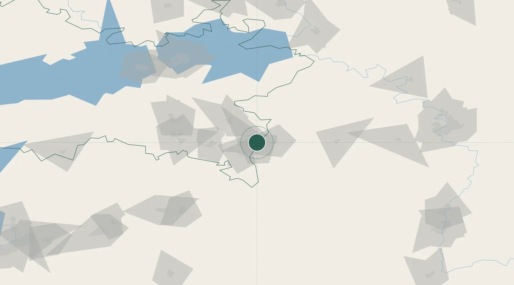
Hub Profile
Place type
Provincial seat
Region
Tatarstan Republic
Population
11,279
Time zone
Europe/Moscow
Elevation
111 m
Location
Nearby Logistics Neighbours
Cities
- 1Abdulino99 km
- 2Derbeshkinskiy143 km
- 3Krugloye Pole144 km
- 4Naberezhnyye Chelny145 km
- 5Nizhnekamsk147 km
Ports
- 1Rostov-Na-Donu1264 km
- 2Azov1285 km
- 3Taganrog1303 km
- 4Arkhangels'k1319 km
- 5Severodvinsk1346 km
Airports
- 1Bugulma Airport42 km
- 2Buguruslan Severny Airport119 km
- 3Begishevo Airport139 km
- 4Ufa International Airport156 km
- 5Bobrovka Air Base241 km
DatabookThe Record of Consolidated Knowledge
Russia beyond logistics?