Medium airport · Russia
Bugulma AirportUWKB
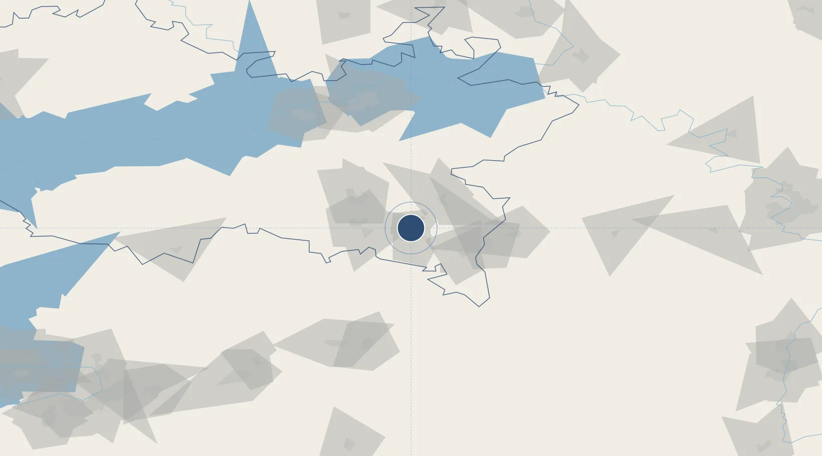
54.6412°, 52.8002°
6,561 ft
Longest runway
1
Runways
991 ft
Elevation
Runway & Layout

Radio Frequencies
TWR
118 MHz
Bugulma TWR / russian only
APP
122.3 MHz
Bugulma Approach / russian only
Runways · 1
| Runway | Dimensions | Surface | True heading | Lit |
|---|---|---|---|---|
| 01/19 | 6,561 × 131ft | concrete | 012° | — |
Airport Specifications
IATA code
UUA
ICAO code
UWKB
Airport class
Medium airport
Scheduled service
Yes
Runway surface
concrete
Served city
Bugulma
Location
Nearby Logistics Neighbours
Airports
- 1Buguruslan Severny Airport106 km
- 2Begishevo Airport112 km
- 3Ufa International Airport198 km
- 4Kurumoch International Airport213 km
- 5Bobrovka Air Base216 km
Cities
- 1Urussu42 km
- 2Nizhnekamsk118 km
- 3Abdulino119 km
- 4Krugloye Pole119 km
- 5Naberezhnyye Chelny126 km
Ports
- 1Rostov-Na-Donu1234 km
- 2Azov1254 km
- 3Taganrog1272 km
- 4Arkhangels'k1294 km
- 5Severodvinsk1320 km
DatabookThe Record of Consolidated Knowledge
Russia beyond logistics?