Transport Functions
Rail
Road
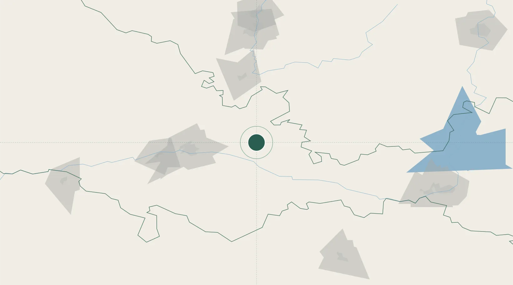
Hub Profile
Place type
Populated place
Region
Orenburg Oblast
Time zone
Asia/Yekaterinburg
Elevation
134 m
Location
Nearby Logistics Neighbours
Cities
- 1Orenburgskiy74 km
- 2Salavat169 km
- 3Velyka Dymerka176 km
- 4Novotroitsk177 km
- 5Aqtöbe (Aktyubinsk)196 km
Ports
- 1Rostov-Na-Donu1283 km
- 2Azov1306 km
- 3Taganrog1332 km
- 4Yeysk1403 km
- 5Sokhumi1497 km
Airports
- 1Orenburg Central Airport39 km
- 2Aktobe International Airport200 km
- 3Orsk Airport201 km
- 4Magnitogorsk International Airport250 km
- 5Kvarkeno Airport253 km
DatabookThe Record of Consolidated Knowledge
Russia beyond logistics?