Transport Functions
Multimodal
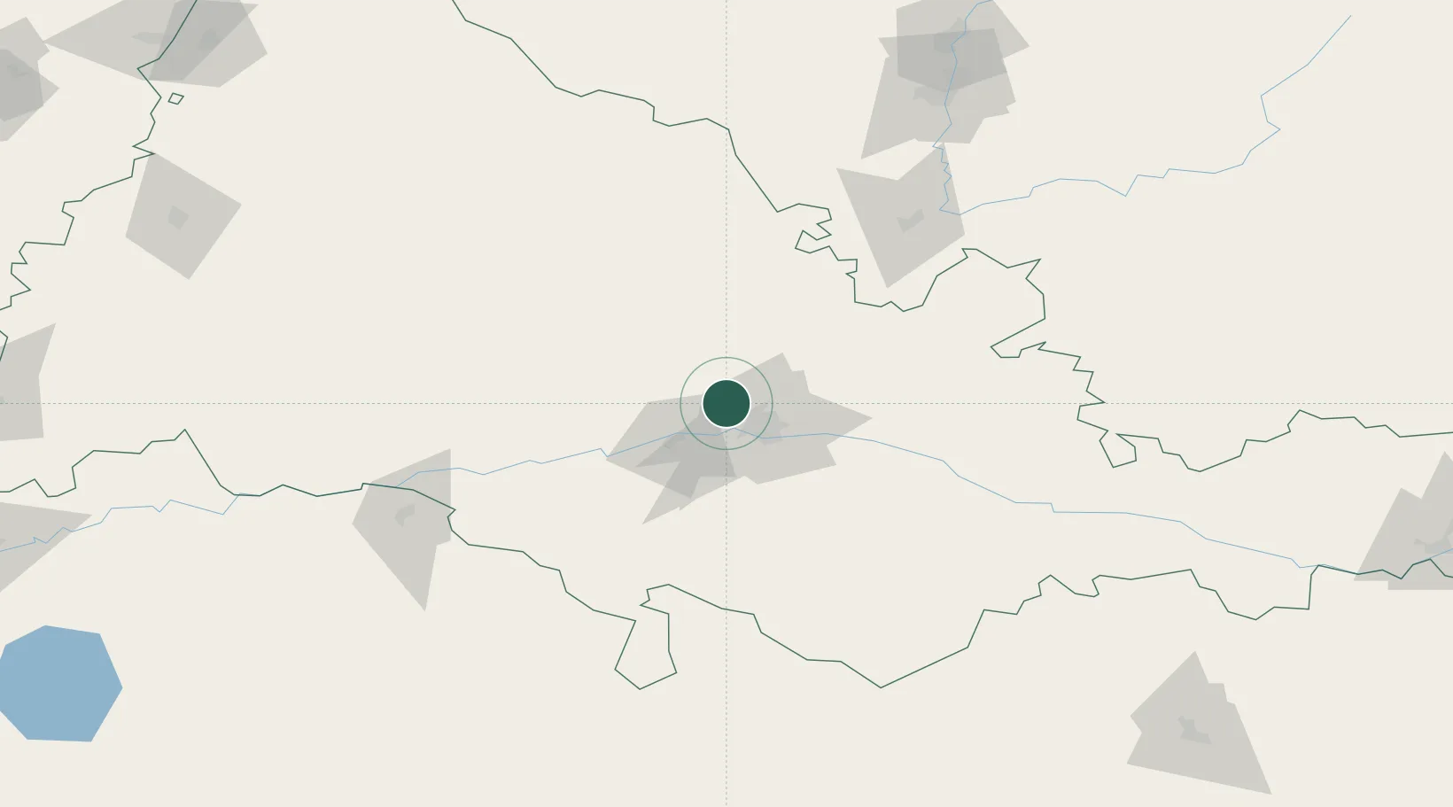
Hub Profile
Place type
Populated place
Region
Orenburg Oblast
Time zone
Asia/Yekaterinburg
Elevation
106 m
Location
Nearby Logistics Neighbours
Cities
- 1Chërnyy Otrog74 km
- 2Velyka Dymerka149 km
- 3Salavat179 km
- 4Abdulino217 km
- 5Aqtöbe (Aktyubinsk)239 km
Ports
- 1Rostov-Na-Donu1214 km
- 2Azov1236 km
- 3Taganrog1261 km
- 4Yeysk1333 km
- 5Sokhumi1438 km
Airports
- 1Orenburg Central Airport39 km
- 2Aktobe International Airport243 km
- 3Manshuk Mametova International Airport248 km
- 4Buguruslan Severny Airport265 km
- 5Orsk Airport271 km
DatabookThe Record of Consolidated Knowledge
Russia beyond logistics?