Transport Functions
Multimodal
Hub Profile
Place type
Provincial seat
Region
Chelyabinsk
Population
49,384
Time zone
Asia/Yekaterinburg
Elevation
399 m
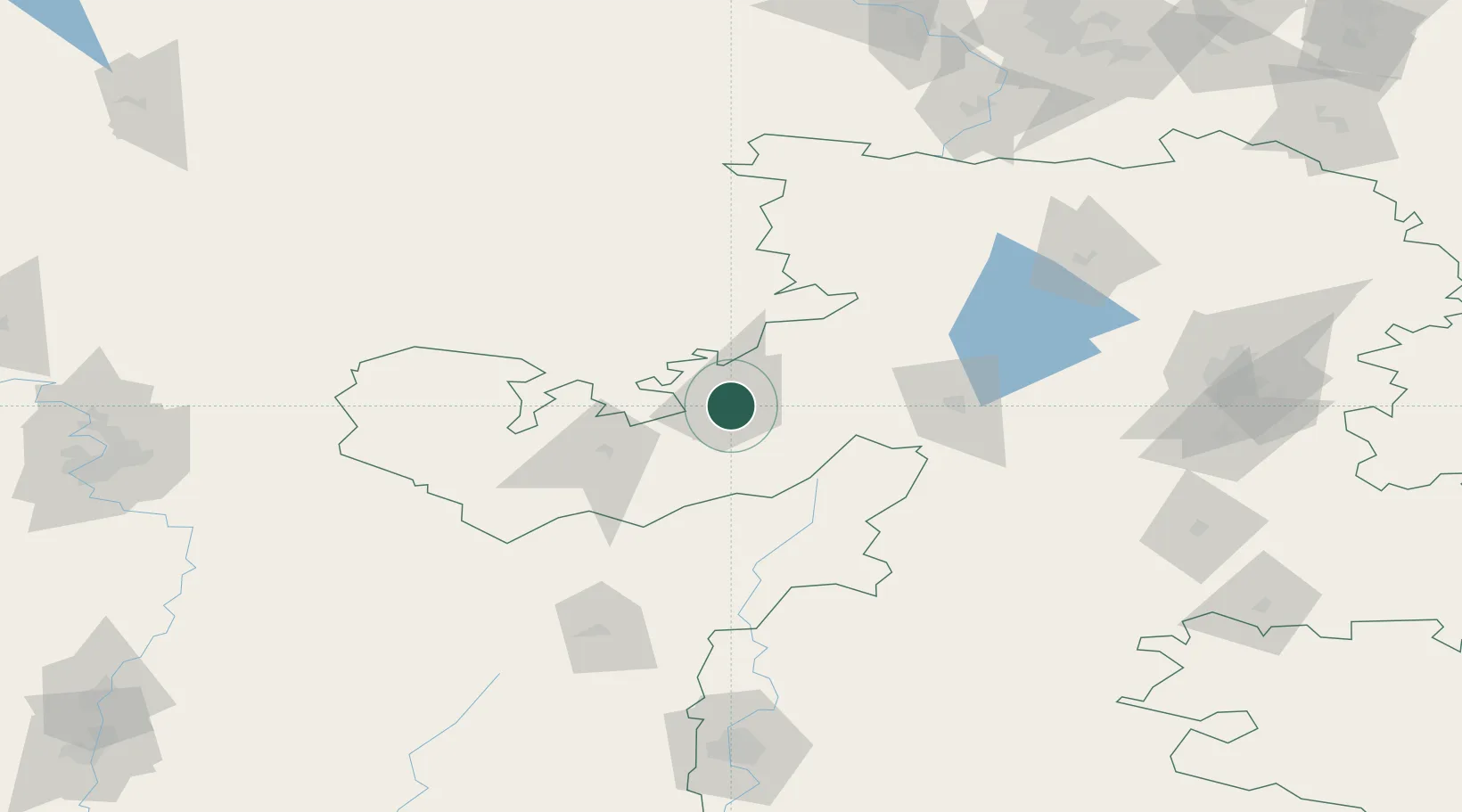
Location
Nearby Logistics Neighbours
Cities
- 1Miass68 km
- 2Chebarkul'86 km
- 3Chelyabinsk150 km
- 4Ekaterinburg (Yekaterinburg)227 km
- 5Kamensk-Ural'skiy237 km
Ports
- 1Mezen1442 km
- 2Arkhangels'k1467 km
- 3Severodvinsk1499 km
- 4Rostov-Na-Donu1600 km
- 5Azov1621 km
Airports
- 1Kurchatov Chelyabinsk International Airport159 km
- 2Uprun Air Base167 km
- 3Magnitogorsk International Airport185 km
- 4Ufa International Airport210 km
- 5Uktus Airport214 km
DatabookThe Record of Consolidated Knowledge
Russia beyond logistics?