Transport Functions
Rail
Road
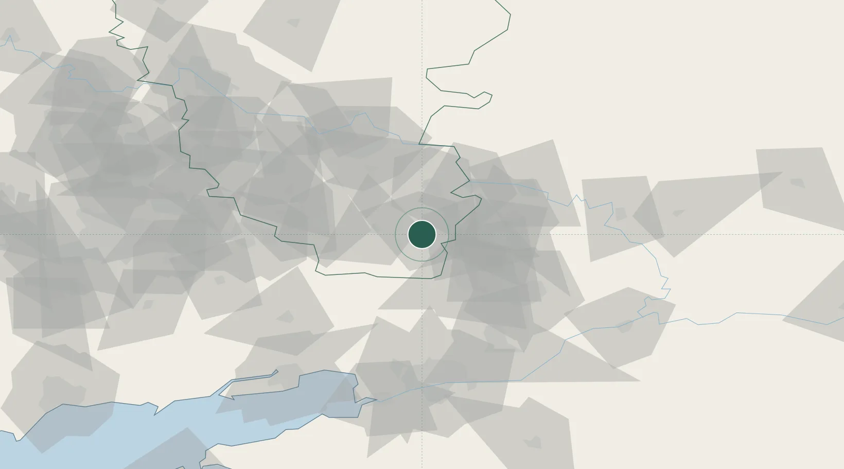
Hub Profile
Place type
Provincial seat
Region
Luhansk
Population
62,691
Time zone
Europe/Kyiv
Elevation
271 m
Location
Nearby Logistics Neighbours
Cities
- 1Donetsk37 km
- 2Novoshakhtinsk41 km
- 3Alchevs'k78 km
- 4Krasnyy Sulin82 km
- 5Belaya Kalitva85 km
Ports
- 1Rostov-Na-Donu100 km
- 2Azov109 km
- 3Taganrog110 km
- 4Yeysk181 km
- 5Mariupol191 km
Airports
- 1Platov International Airport67 km
- 2Rostov-on-Don Central Air Base88 km
- 3Taganrog Tsentralny Air Base110 km
- 4Millerovo Air Base110 km
- 5Taganrog Yuzhny Airport114 km
DatabookThe Record of Consolidated Knowledge
Ukraine beyond logistics?