Transport Functions
Multimodal
Hub Profile
Place type
Provincial seat
Region
Primorye
Population
58,700
Time zone
Asia/Vladivostok
Elevation
172 m
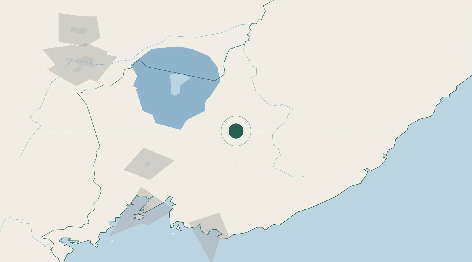
Location
Nearby Logistics Neighbours
Cities
- 1Kirovskiy91 km
- 2Preobrazheniye162 km
- 3Nakhodka169 km
- 4Hulin169 km
- 5Fish Port Terminal170 km
Ports
- 1Nakhodka168 km
- 2Vostochnyy171 km
- 3Vladivostok172 km
- 4Slavyanka220 km
- 5Zarubino255 km
Airports
- 1Chuguyevka Air Base52 km
- 2Chernigovka Air Base59 km
- 3Vozdvizhenka Air Base116 km
- 4Vladivostok International Airport134 km
- 5Dalnerechensk Airport181 km
Trade Zones
DatabookThe Record of Consolidated Knowledge
Russia beyond logistics?