Transport Functions
Port
Hub Profile
Place type
Provincial seat
Region
Primorye
Population
4,328
Time zone
Asia/Vladivostok
Elevation
24 m
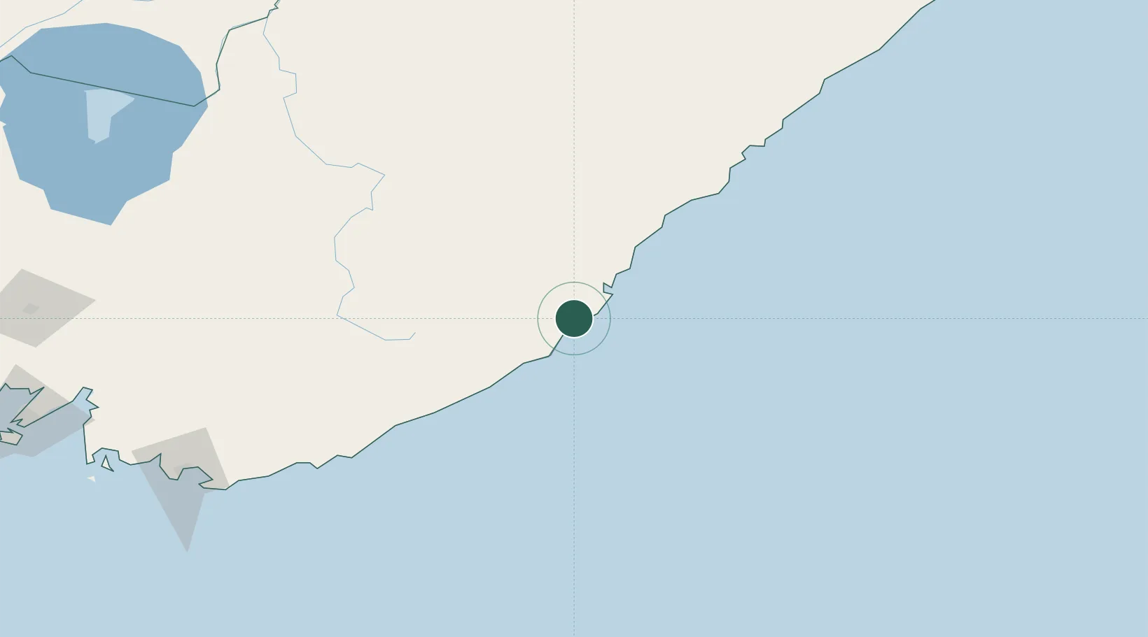
Location
Nearby Logistics Neighbours
Cities
- 1Preobrazheniye145 km
- 2Arsenyev171 km
- 3Kirovskiy206 km
- 4Vostochnyy Port210 km
- 5Kozmino Port216 km
Ports
- 1Vostochnyy209 km
- 2Nakhodka220 km
- 3Vladivostok283 km
- 4Slavyanka330 km
- 5Zarubino362 km
Airports
- 1Chuguyevka Air Base120 km
- 2Plastun Airport145 km
- 3Chernigovka Air Base229 km
- 4Vladivostok International Airport255 km
- 5Dalnerechensk Airport268 km
Trade Zones
DatabookThe Record of Consolidated Knowledge
Russia beyond logistics?