UN/LOCODE hub · Russia
RUTVK

Timashevsk

45.6167°, 38.9333°
3
Transport functions

Transport Functions

Port
Rail
Road
UN/LOCODE

Location

Location of RUTVK
Natural Earth 10m (public domain) · Krasnodar · RUTVK · 45.62, 38.93GoogleOSMYandex

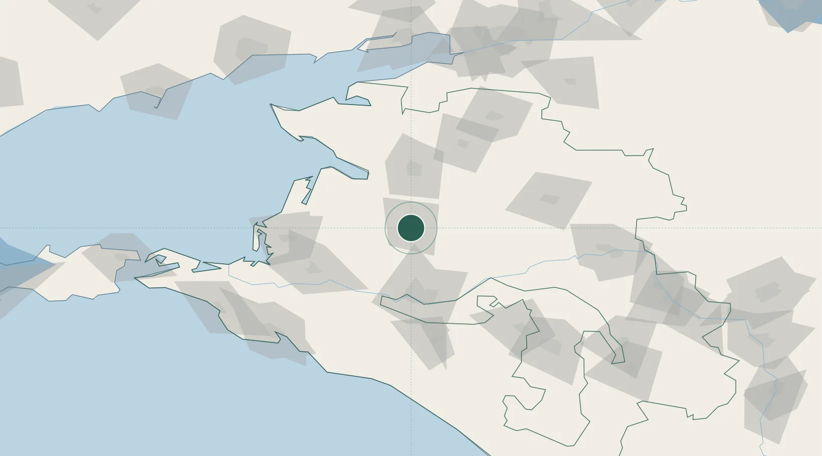
Nearby Logistics Neighbours

Cities
  1. 1Primorsko-Akhtarsk75 km
  2. 2Severskaya88 km
  3. 3Abinsk104 km
  4. 4Krymsk109 km
  5. 5Belorechensk120 km
Nearest neighbours — logibook spatial index (haversine) over the source coordinates
Ports
  1. 1Temryuk127 km
  2. 2Yeysk134 km
  3. 3Novorossiysk135 km
  4. 4Gelendzhik137 km
  5. 5Anapa151 km
Nearest neighbours — logibook spatial index (haversine) over the source coordinates
Airports
  1. 1Krasnodar Central Air Base59 km
  2. 2Krasnodar Pashkovsky International Airport67 km
  3. 3Krymsk Air Base103 km
  4. 4Yeysk Airport131 km
  5. 5Khanskaya Air Base135 km
Nearest neighbours — logibook spatial index (haversine) over the source coordinates
Trade Zones
  1. 1Azov Economic Zone194 km
  2. 2Special Economic Zone Donetsk282 km
  3. 3Kulevi Free Industrial Zone431 km
  4. 4North Caucasus Resort Cluster432 km
  5. 5Poti Free Industrial Zone440 km
Nearest neighbours — logibook spatial index (haversine) over the source coordinates
DatabookThe Record of Consolidated Knowledge
Russia beyond logistics?
Browse databook

All Sources

LocationsUN/LOCODE
UN/LOCODE — free
Portsthe NGA World Port Index
Public domain (US gov)
AirportsOurAirports
Public domain
Trade Zonesthe World Bank SEZ database
CC BY 4.0
Trade ZonesOpen Zone Map
CC BY
← Russia locations