Transport Functions
Rail
Road
Hub Profile
Place type
Provincial seat
Region
Saratov Oblast
Population
7,377
Time zone
Europe/Saratov
Elevation
202 m
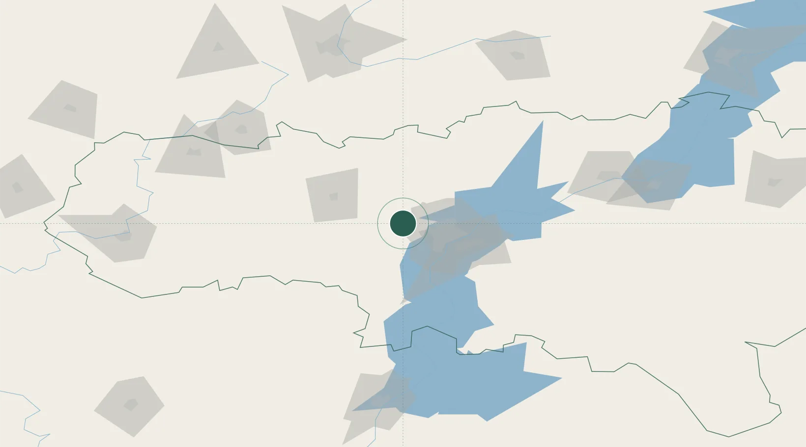
Location
Nearby Logistics Neighbours
Ports
- 1Rostov-Na-Donu657 km
- 2Azov676 km
- 3Taganrog691 km
- 4Yeysk764 km
- 5Mariupol773 km
Airports
- 1Gagarin International Airport40 km
- 2Engels Air Base47 km
- 3Bagay-Baranovka Air Base108 km
- 4Rtishchevo Air Base146 km
- 5Balakovo Airport149 km
DatabookThe Record of Consolidated Knowledge
Russia beyond logistics?