Transport Functions
Multimodal
Hub Profile
Place type
Populated place
Region
Utrecht
Time zone
Europe/Amsterdam
Elevation
-1 m
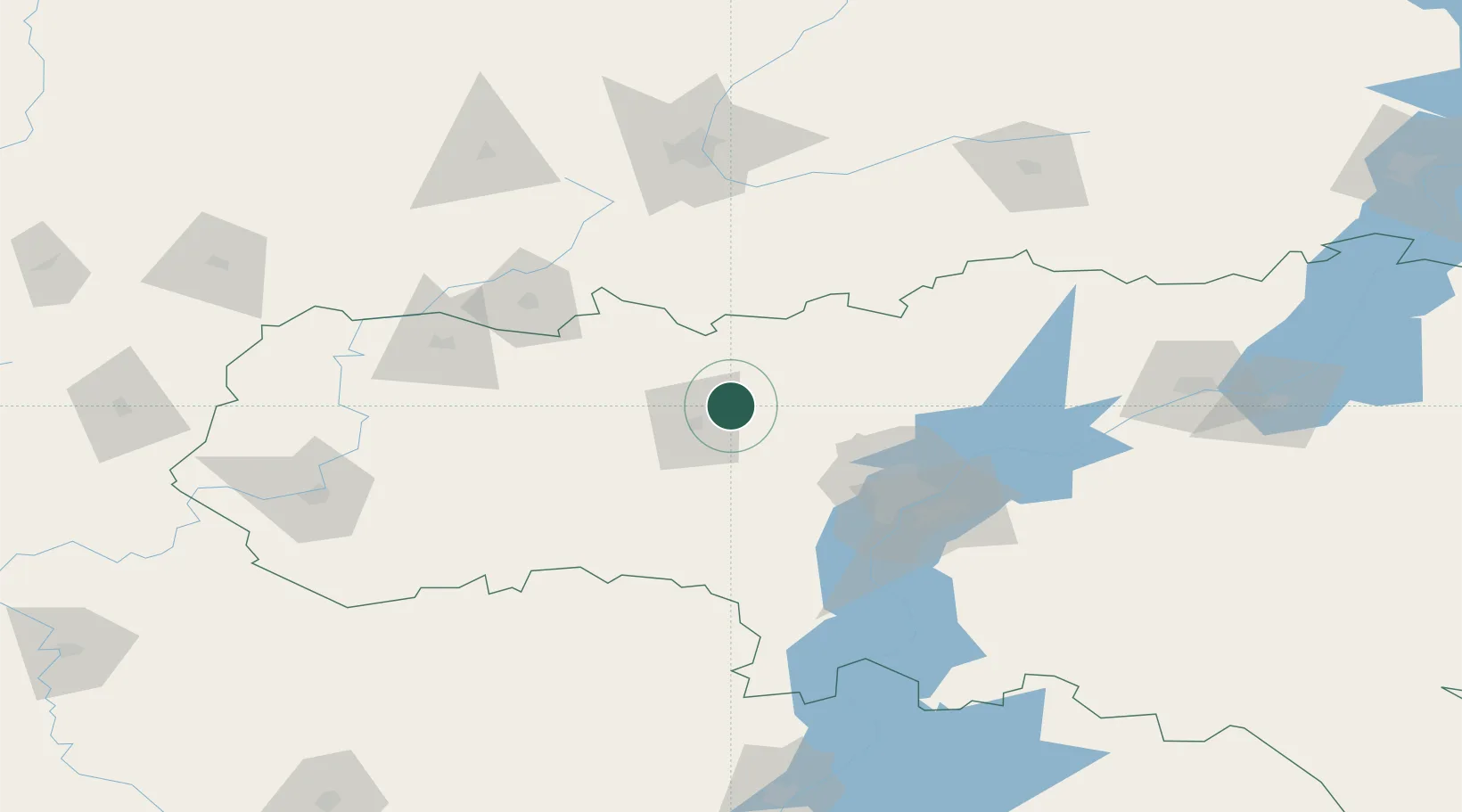
Location
Nearby Logistics Neighbours
Cities
- 1Tatishchevo46 km
- 2Ulvenhout50 km
- 3Engels85 km
- 4Voinovka109 km
- 5Sennoy124 km
Ports
- 1Rostov-Na-Donu664 km
- 2Azov682 km
- 3Taganrog695 km
- 4Yeysk768 km
- 5Mariupol772 km
Airports
- 1Gagarin International Airport75 km
- 2Engels Air Base91 km
- 3Rtishchevo Air Base105 km
- 4Bagay-Baranovka Air Base125 km
- 5Penza Airport126 km
DatabookThe Record of Consolidated Knowledge
Netherlands beyond logistics?