Transport Functions
Rail
Road
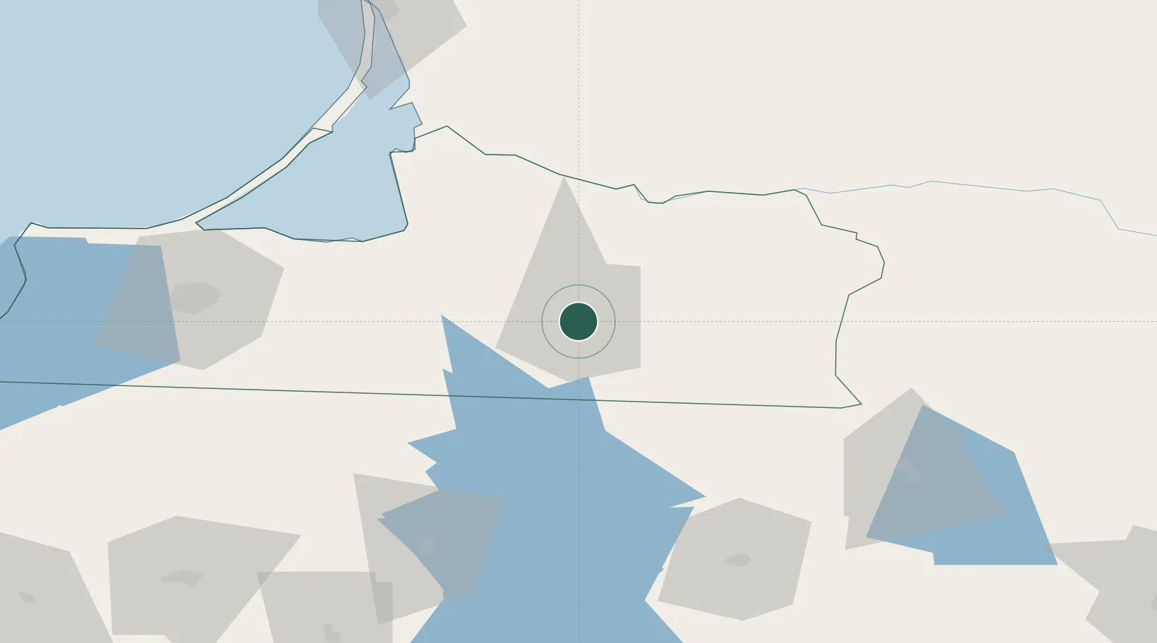
Hub Profile
Place type
Provincial seat
Region
Kaliningrad Oblast
Population
45,187
Time zone
Europe/Kaliningrad
Elevation
38 m
Location
Nearby Logistics Neighbours
Ports
- 1Kaliningrad86 km
- 2Baltiysk123 km
- 3Klaipeda128 km
- 4Butinge Oil Terminal165 km
- 5Nowy Port205 km
Airports
Trade Zones
DatabookThe Record of Consolidated Knowledge
Russia beyond logistics?