Medium airport · Russia

Khankala Air BaseXRMU
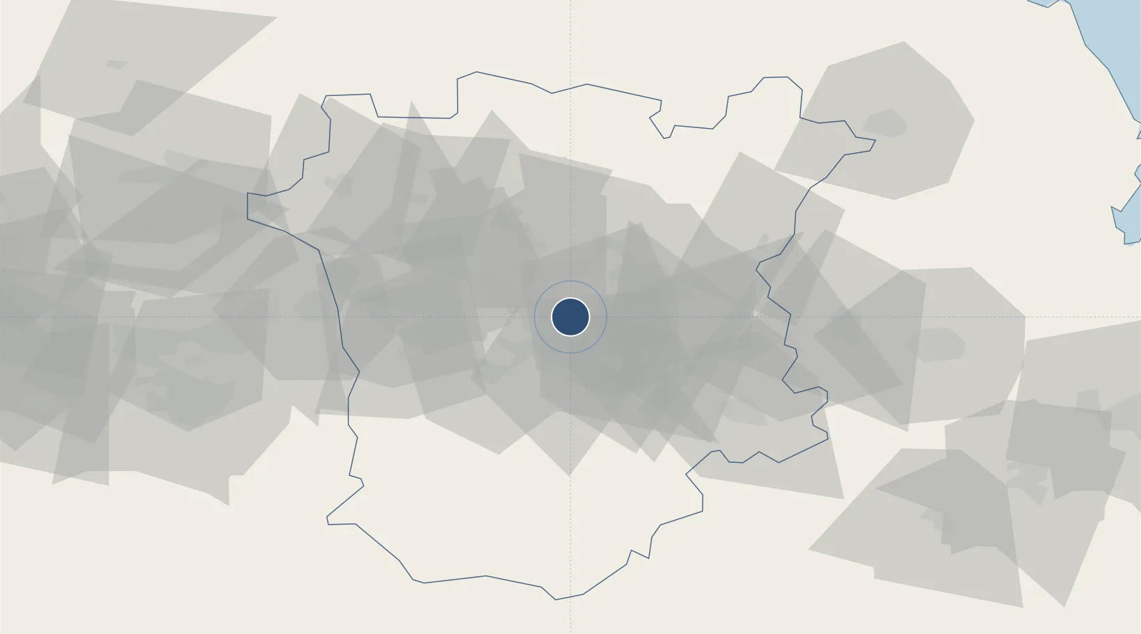
43.2981°, 45.7841°
8,210 ft
Longest runway
1
Runways
548 ft
Elevation

Runway & Layout

Khankala Air Base runway & taxiway layout
Runway & taxiway layout — OpenStreetMap (ODbL) / OurAirports

Runways · 1

RunwayDimensions SurfaceTrue headingLit
08/26 8,210 × 148ft ASPHALT 087°
OurAirports

Airport Specifications

Airport class
Medium airport
OurAirports
Scheduled service
No
OurAirports
Runway surface
ASPHALT
OurAirports
Served city
Grozny
OurAirports

Location

Location of XRMU
Natural Earth 10m (public domain) · Chechnya · XRMU · 43.30, 45.78GoogleOSMYandex

Nearby Logistics Neighbours

Airports
  1. 1Akhmat Kadyrov Grozny International Airport12 km
  2. 2Magas Airport63 km
  3. 3Vladikavkaz Beslan International Airport96 km
  4. 4Mozdok Air Base110 km
  5. 5Makhachkala Uytash International Airport161 km
Nearest neighbours — logibook spatial index (haversine) over the source coordinates
Cities
  1. 1Karabulak73 km
  2. 2Beslan102 km
  3. 3Gudauri142 km
  4. 4Makhachkala144 km
  5. 5Kvareli150 km
Nearest neighbours — logibook spatial index (haversine) over the source coordinates
Ports
  1. 1Supsa Marine Terminal358 km
  2. 2Batumi385 km
  3. 3Sokhumi391 km
  4. 4Hopa417 km
  5. 5Sochi489 km
Nearest neighbours — logibook spatial index (haversine) over the source coordinates
Trade Zones
  1. 1Tbilisi Free Industrial Zone182 km
  2. 2Kutaisi Free Industrial Zone (Hualing)283 km
  3. 3Kutaisi Free Industrial Zone - Fresh Georgia, LLC.283 km
  4. 4Mingachevir Industrial Park301 km
  5. 5Mingachevir High Technologies Park301 km
Nearest neighbours — logibook spatial index (haversine) over the source coordinates
DatabookThe Record of Consolidated Knowledge
Russia beyond logistics?
Browse databook

All Sources

AirportsOurAirports
Public domain
Portsthe NGA World Port Index
Public domain (US gov)
LocationsUN/LOCODE
UN/LOCODE — free
Trade Zonesthe World Bank SEZ database
CC BY 4.0
Trade ZonesOpen Zone Map
CC BY
InfrastructureOpenStreetMap
ODbL 1.0
← Russia airports