Transport Functions
Port
Rail
Road
Hub Profile
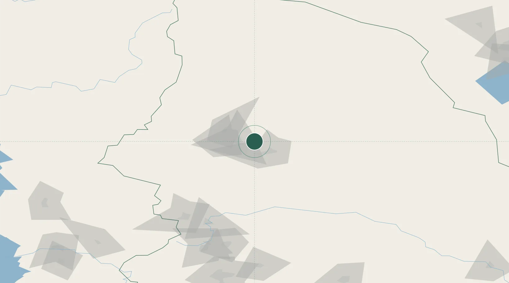
Place type
Populated place
Region
Sverdlovsk Oblast
Population
62,600
Time zone
Asia/Yekaterinburg
Elevation
201 m
Location
Nearby Logistics Neighbours
Cities
- 1Serov20 km
- 2Karpinsk26 km
- 3Verkhnyaya Salda191 km
- 4Nizhniy Tagil206 km
- 5Solikamsk208 km
Ports
- 1Mezen1062 km
- 2Arkhangels'k1157 km
- 3Severodvinsk1193 km
- 4Ostrovnoy Gremikha1366 km
- 5Port Dikson1745 km
Airports
- 1Yugorsk Sovetsky Air Base222 km
- 2Sovetskiy Airport244 km
- 3Uray Airport246 km
- 4Lugovoy Airport301 km
- 5Perm International Airport328 km
DatabookThe Record of Consolidated Knowledge
Russia beyond logistics?