Transport Functions
Rail
Road
Hub Profile
Place type
Provincial seat
Region
Sverdlovsk Oblast
Population
30,070
Time zone
Asia/Yekaterinburg
Elevation
204 m
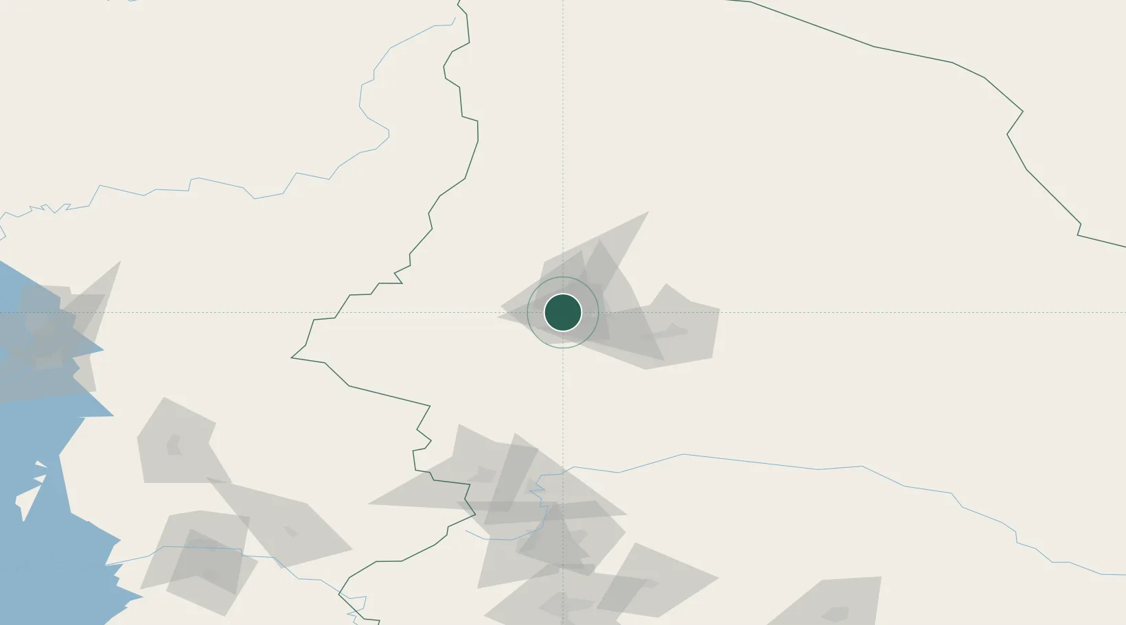
Location
Nearby Logistics Neighbours
Cities
- 1Krasnotur'insk26 km
- 2Serov37 km
- 3Solikamsk182 km
- 4Berezniki185 km
- 5Verkhnyaya Salda192 km
Ports
- 1Mezen1046 km
- 2Arkhangels'k1137 km
- 3Severodvinsk1172 km
- 4Ostrovnoy Gremikha1351 km
- 5Port Dikson1756 km
Airports
- 1Yugorsk Sovetsky Air Base241 km
- 2Sovetskiy Airport264 km
- 3Uray Airport272 km
- 4Perm International Airport307 km
- 5Lugovoy Airport327 km
DatabookThe Record of Consolidated Knowledge
Russia beyond logistics?