Medium airport · Russia
Sovetskiy AirportUSHS
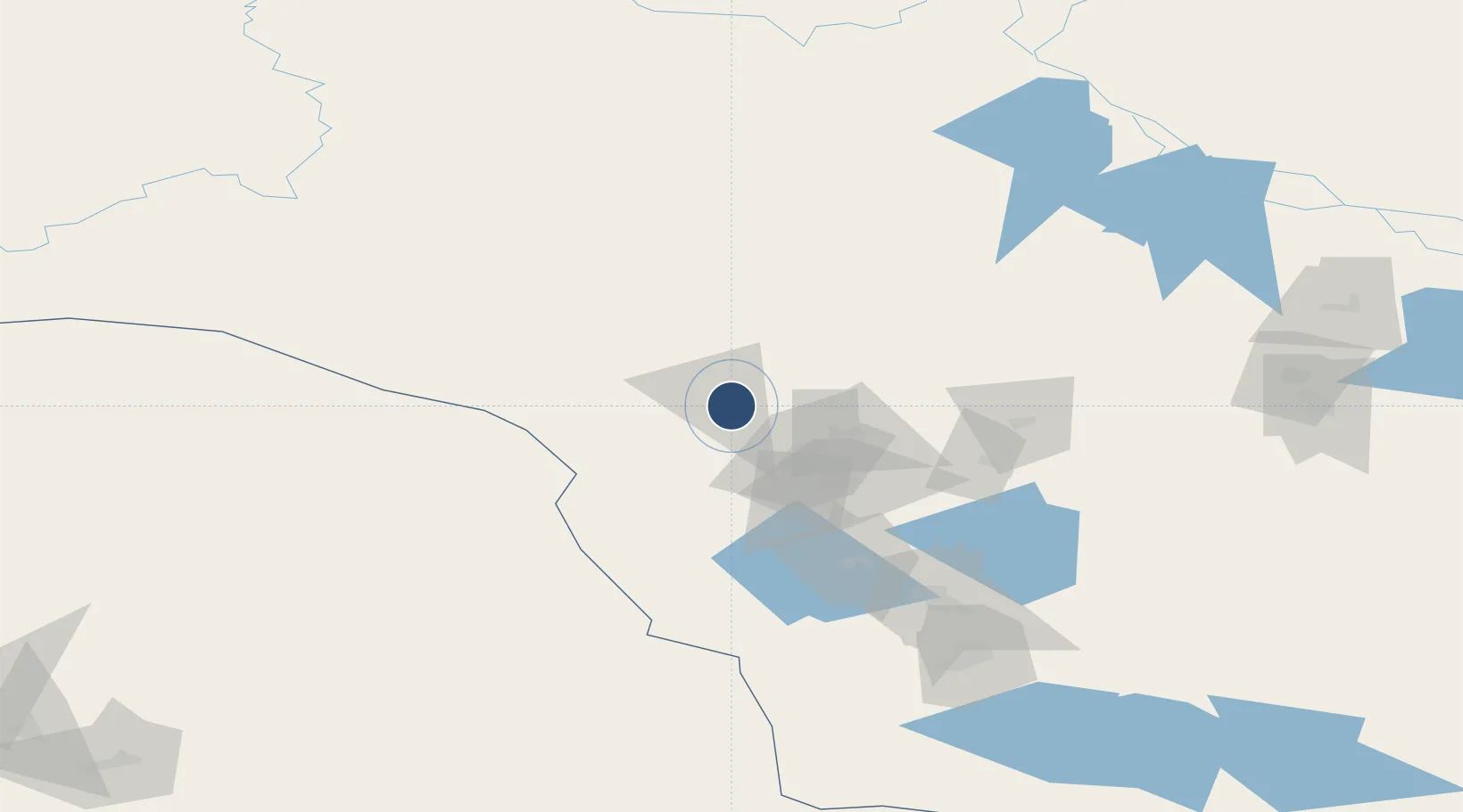
61.3266°, 63.6019°
8,202 ft
Longest runway
1
Runways
351 ft
Elevation
Runway & Layout

Runways · 1
| Runway | Dimensions | Surface | True heading | Lit |
|---|---|---|---|---|
| 12/30 | 8,202 × 144ft | Concrete | — | ✓ |
Airport Specifications
IATA code
OVS
ICAO code
USHS
Airport class
Medium airport
Scheduled service
Yes
Runway surface
Concrete
Served city
Sovetskiy
Location
Nearby Logistics Neighbours
Airports
- 1Yugorsk Sovetsky Air Base26 km
- 2Nyagan Airport137 km
- 3Uray Airport152 km
- 4Lugovoy Airport216 km
- 5Khanty Mansiysk Airport296 km
Cities
- 1Sovetskiy3 km
- 2Longva163 km
- 3Oktyabrskoye179 km
- 4Bolshoy Kamen186 km
- 5Peregrebnoye199 km
Ports
- 1Mezen1077 km
- 2Arkhangels'k1213 km
- 3Severodvinsk1249 km
- 4Igarka1287 km
- 5Ostrovnoy Gremikha1354 km
DatabookThe Record of Consolidated Knowledge
Russia beyond logistics?