Transport Functions
Rail
Road
Hub Profile
Place type
Provincial seat
Region
Sverdlovsk Oblast
Population
98,438
Time zone
Asia/Yekaterinburg
Elevation
89 m
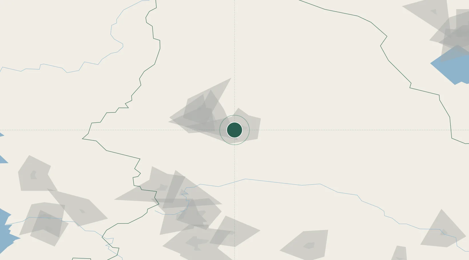
Location
Nearby Logistics Neighbours
Cities
- 1Krasnotur'insk20 km
- 2Karpinsk37 km
- 3Verkhnyaya Salda172 km
- 4Nizhniy Tagil188 km
- 5Solikamsk215 km
Ports
- 1Mezen1080 km
- 2Arkhangels'k1173 km
- 3Severodvinsk1209 km
- 4Ostrovnoy Gremikha1384 km
- 5Port Dikson1760 km
Airports
- 1Yugorsk Sovetsky Air Base233 km
- 2Uray Airport243 km
- 3Sovetskiy Airport253 km
- 4Lugovoy Airport295 km
- 5Koltsovo Airport318 km
DatabookThe Record of Consolidated Knowledge
Russia beyond logistics?