Transport Functions
Rail
Road
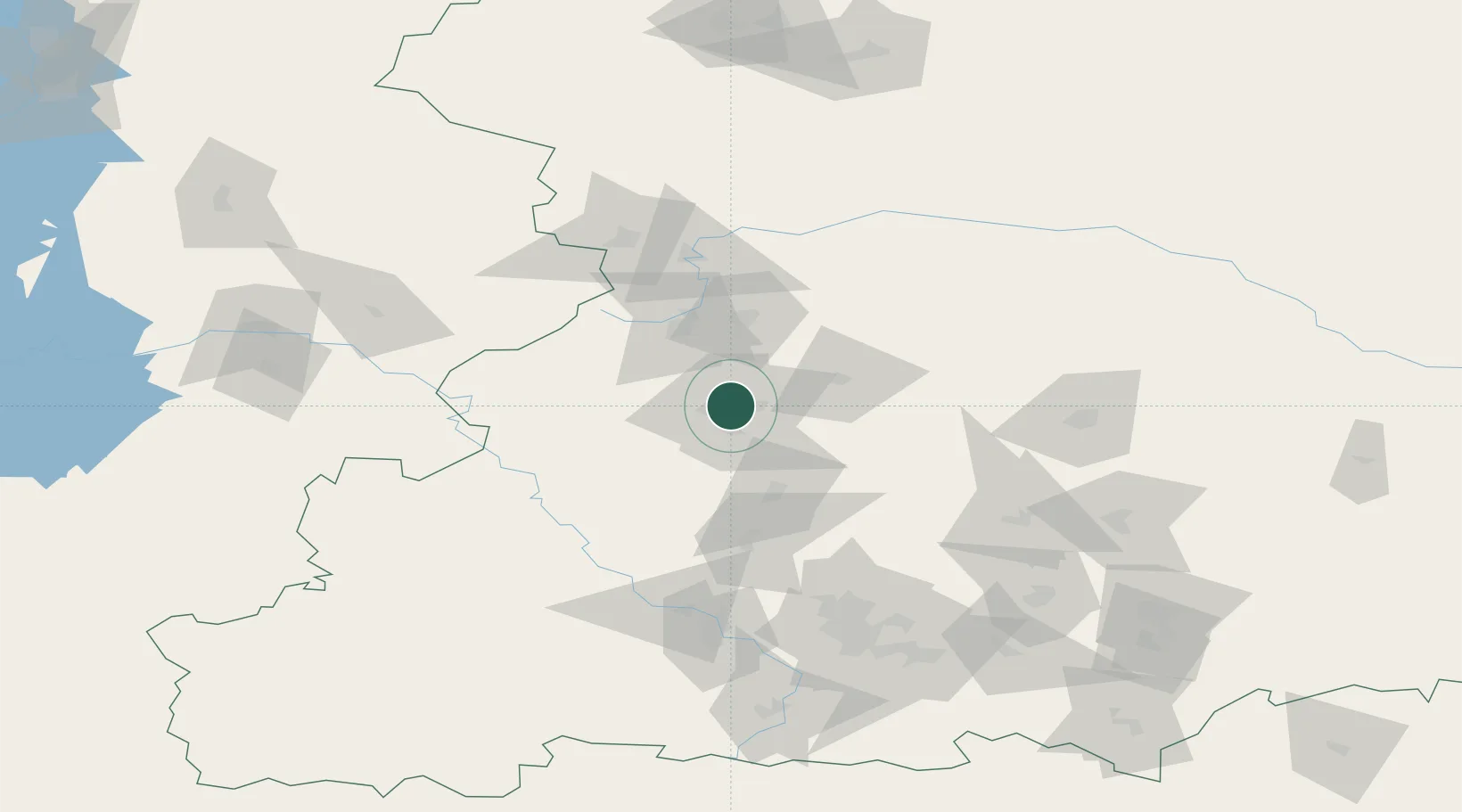
Location
Nearby Logistics Neighbours
Cities
- 1Verkhnyaya Salda34 km
- 2Ekaterinburg (Yekaterinburg)122 km
- 3Asbest134 km
- 4Irbit182 km
- 5Serov188 km
Ports
- 1Mezen1202 km
- 2Arkhangels'k1267 km
- 3Severodvinsk1302 km
- 4Ostrovnoy Gremikha1515 km
- 5Rostov-Na-Donu1809 km
Airports
- 1Koltsovo Airport141 km
- 2Uktus Airport145 km
- 3Kamensk-Uralskiy Air Base204 km
- 4Perm International Airport236 km
- 5Kurchatov Chelyabinsk International Airport306 km
DatabookThe Record of Consolidated Knowledge
Russia beyond logistics?