Runway & Layout

Airport Specifications
ICAO code
USHL
Airport class
Small airport
Scheduled service
Yes
Served city
Lugovoy
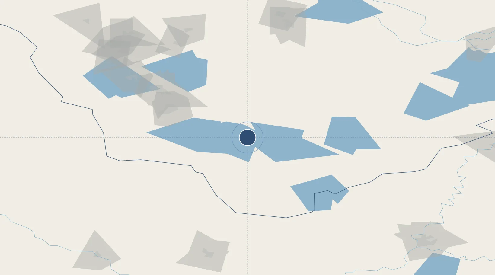
Location
Nearby Logistics Neighbours
Airports
- 1Uray Airport70 km
- 2Sovetskiy Airport216 km
- 3Yugorsk Sovetsky Air Base226 km
- 4Khanty Mansiysk Airport230 km
- 5Tobolsk Remezov Airport235 km
Cities
- 1Sovetskiy219 km
- 2Irbit278 km
- 3Leushinskiye283 km
- 4Tyumen287 km
- 5Serov295 km
Ports
- 1Mezen1284 km
- 2Igarka1328 km
- 3Arkhangels'k1408 km
- 4Dudinka1436 km
- 5Severodvinsk1444 km
DatabookThe Record of Consolidated Knowledge
Russia beyond logistics?