Large airport · Russia
Perm International AirportUSPP
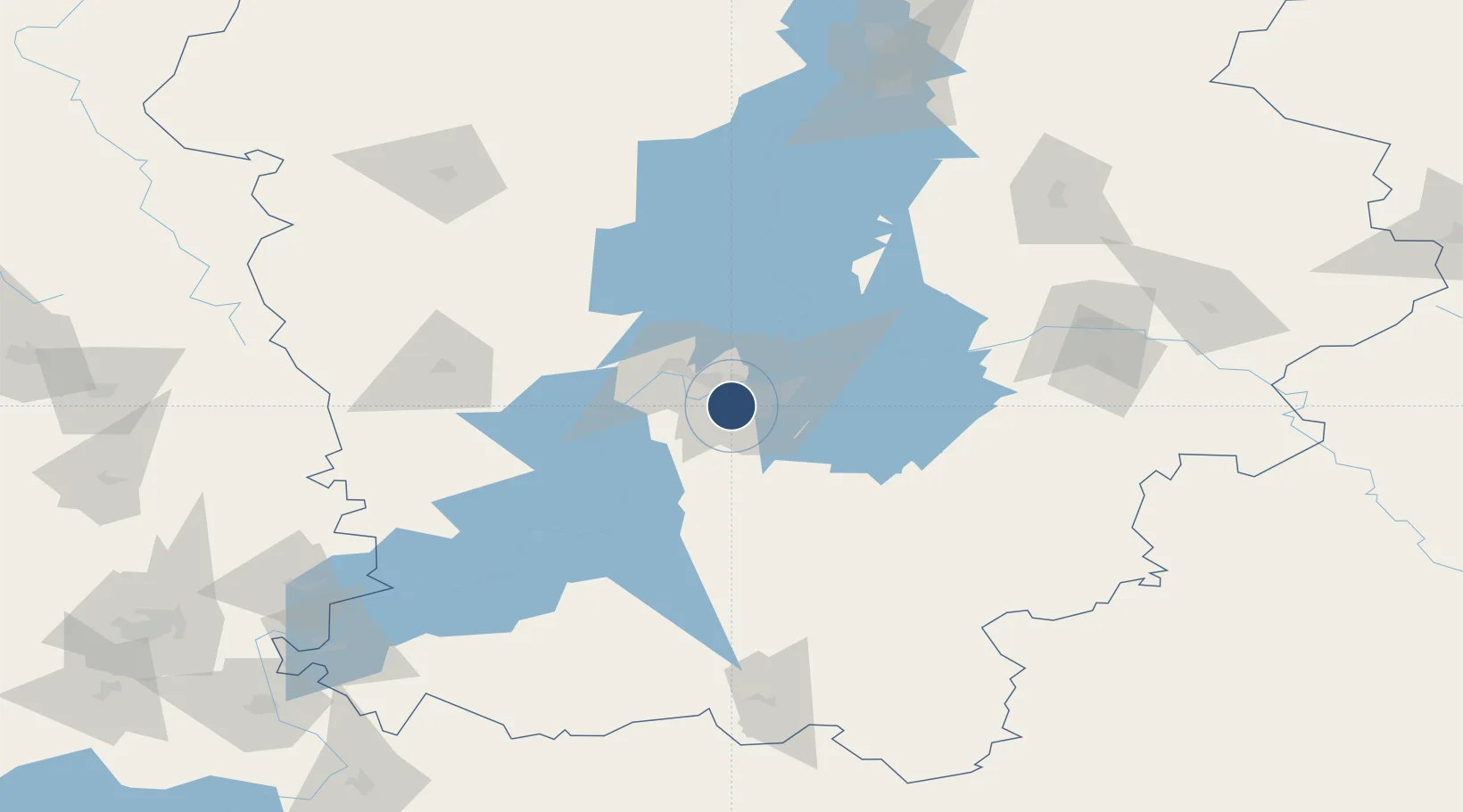
57.9145°, 56.0212°
10,520 ft
Longest runway
1
Runways
404 ft
Elevation
Runway & Layout

Radio Frequencies
ATIS
126.4 MHz
PERM ATIS
TWR
124 MHz
PREM START
GND
121.7 MHz
TAXIING
APP
127.1 MHz
PERM APP
Navaids
BK NDB Perm 705 kHz
PX NDB Perm 705 kHz
Runways · 1
| Runway | Dimensions | Surface | True heading | Lit |
|---|---|---|---|---|
| 03/21 | 10,520 × 161ft | Concrete | 046° | ✓ |
Airport Specifications
IATA code
PEE
ICAO code
USPP
Airport class
Large airport
Scheduled service
Yes
Runway surface
Concrete
Served city
Perm
Location
Nearby Logistics Neighbours
Airports
- 1Izhevsk Airport195 km
- 2Koltsovo Airport315 km
- 3Uktus Airport317 km
- 4Begishevo Airport354 km
- 5Ufa International Airport373 km
Cities
- 1Perm14 km
- 2Chaykovskiy169 km
- 3Berezniki171 km
- 4Solikamsk196 km
- 5Glazov200 km
Ports
- 1Mezen1073 km
- 2Arkhangels'k1104 km
- 3Severodvinsk1136 km
- 4Ostrovnoy Gremikha1393 km
- 5Rostov-Na-Donu1618 km
DatabookThe Record of Consolidated Knowledge
Russia beyond logistics?