Medium airport · Russia
Uray AirportUSHU
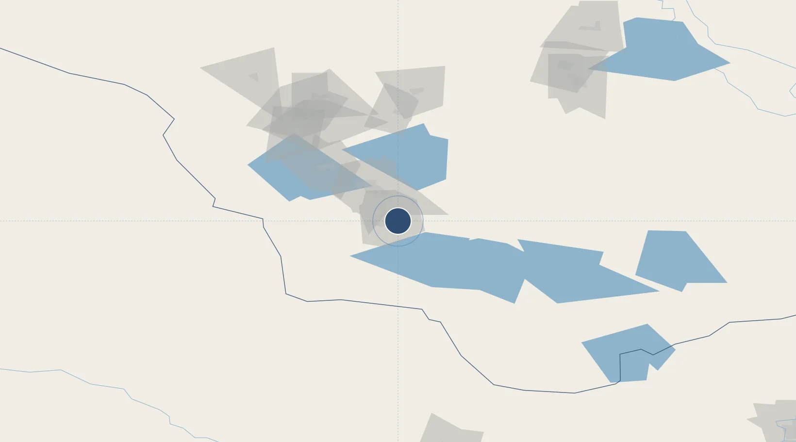
60.1033°, 64.8267°
7,218 ft
Longest runway
1
Runways
190 ft
Elevation
Runway & Layout

Runways · 1
| Runway | Dimensions | Surface | True heading | Lit |
|---|---|---|---|---|
| 18/36 | 7,218 × 138ft | Concrete | — | ✓ |
Airport Specifications
IATA code
URJ
ICAO code
USHU
Airport class
Medium airport
Scheduled service
Yes
Runway surface
Concrete
Served city
Uray
Location
Nearby Logistics Neighbours
Airports
- 1Lugovoy Airport70 km
- 2Sovetskiy Airport152 km
- 3Yugorsk Sovetsky Air Base159 km
- 4Nyagan Airport227 km
- 5Khanty Mansiysk Airport254 km
Cities
- 1Sovetskiy154 km
- 2Serov243 km
- 3Krasnotur'insk246 km
- 4Leushinskiye264 km
- 5Oktyabrskoye269 km
Ports
- 1Mezen1214 km
- 2Igarka1334 km
- 3Arkhangels'k1338 km
- 4Severodvinsk1374 km
- 5Dudinka1432 km
DatabookThe Record of Consolidated Knowledge
Russia beyond logistics?