Transport Functions
Rail
Road
Hub Profile
Place type
Provincial seat
Region
Perm Krai
Population
100,812
Time zone
Asia/Yekaterinburg
Elevation
144 m
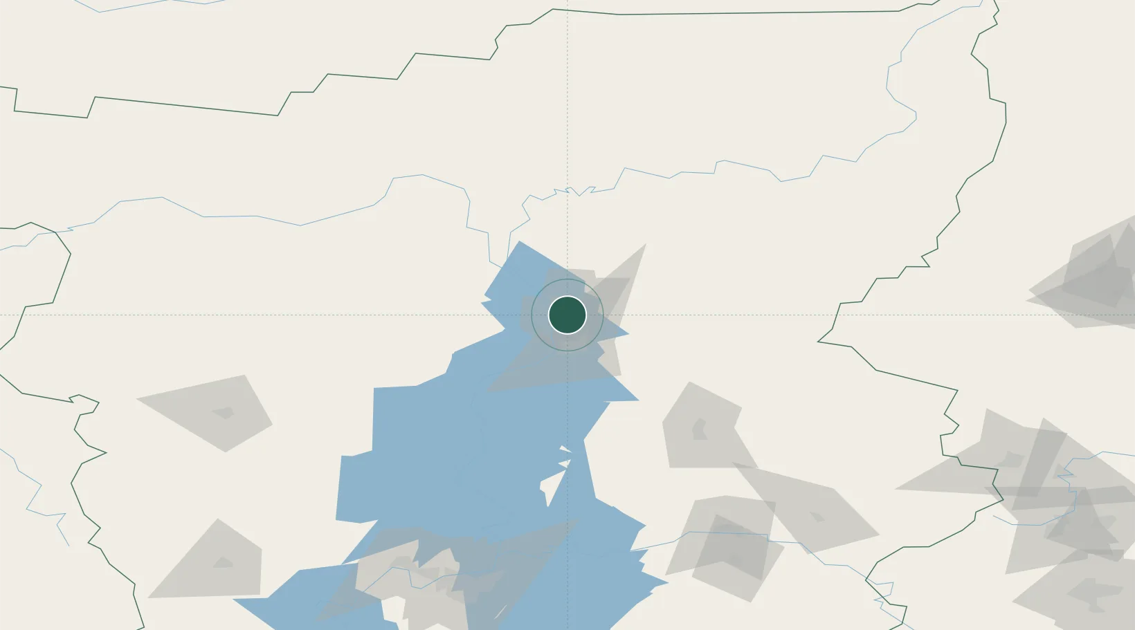
Location
Nearby Logistics Neighbours
Cities
- 1Berezniki26 km
- 2Karpinsk182 km
- 3Perm186 km
- 4Krasnotur'insk208 km
- 5Serov215 km
Ports
- 1Mezen938 km
- 2Arkhangels'k1002 km
- 3Severodvinsk1036 km
- 4Ostrovnoy Gremikha1253 km
- 5Rostov-Na-Donu1778 km
Airports
- 1Perm International Airport196 km
- 2Izhevsk Airport366 km
- 3Syktyvkar Airport393 km
- 4Yugorsk Sovetsky Air Base394 km
- 5Koltsovo Airport399 km
DatabookThe Record of Consolidated Knowledge
Russia beyond logistics?