Transport Functions
Port
Hub Profile
Place type
Provincial seat
Region
Sakhalin Oblast
Population
35,091
Time zone
Asia/Sakhalin
Elevation
61 m
Logistics facilities
1
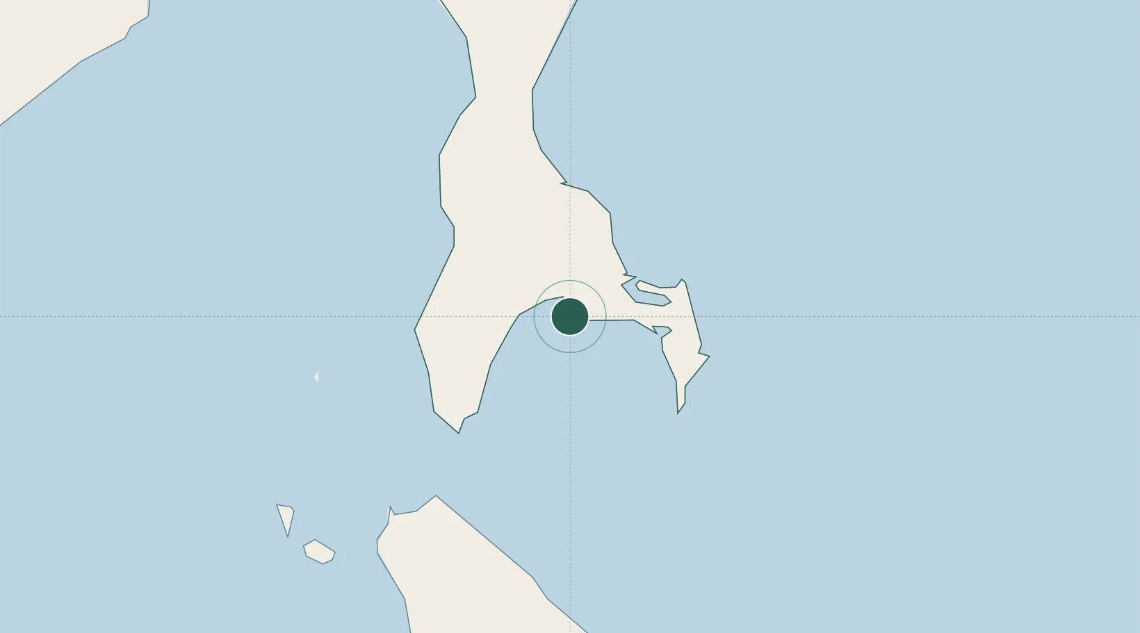
Location
Nearby Logistics Neighbours
Cities
- 1Prigorodnoye10 km
- 2Kholmsk73 km
- 3Lesogorsk317 km
- 4Riegersdorf334 km
- 5Boshnyakovo340 km
Ports
- 1Nevelsk69 km
- 2Kholmsk73 km
- 3Uglegorsk279 km
- 4Shakhtersk288 km
- 5Poronaysk290 km
Airports
- 1Yuzhno-Sakhalinsk International Airport30 km
- 2Dolinsk-Sokol Air Base71 km
- 3Wakkanai Airport154 km
- 4Rishiri Airport196 km
- 5Monbetsu Airport262 km
DatabookThe Record of Consolidated Knowledge
Russia beyond logistics?