Channel & Berth Profile
Pilotage, Tugs & Services
Pilotage compulsoryYES
Pilotage availableYES
Pilotage advisableYES
Tug assistanceYES
Potable waterYES
Diesel bunkersNO
MedicalYES
Garbage disposalYES
Facilities & Capabilities
Container—
Ro-Ro—
Liquid bulk—
Dry bulk—
Oil terminal—
Break bulk—
Dry dock—
RepairsNO
BunkeringYES
Rail linkYES
Dangerous cargo—
ISPS security—
Harbour Specifications
Harbour size
Small
Harbour type
Coastal (Breakwater)
Shelter
Fair
Water body
Tatar Strait; North Pacific Ocean
Tidal range
0.3 m
Overhead limit
Yes
Pilotage
Yes
Liner Connectivity
7.2
PLSCI
Port Liner Shipping Connectivity Index for Kholmsk, as published by UNCTAD for the latest available quarter. Higher values indicate stronger scheduled liner-shipping integration.
Shown relative to the highest per-port PLSCI in the dataset (1,657.9).
Location
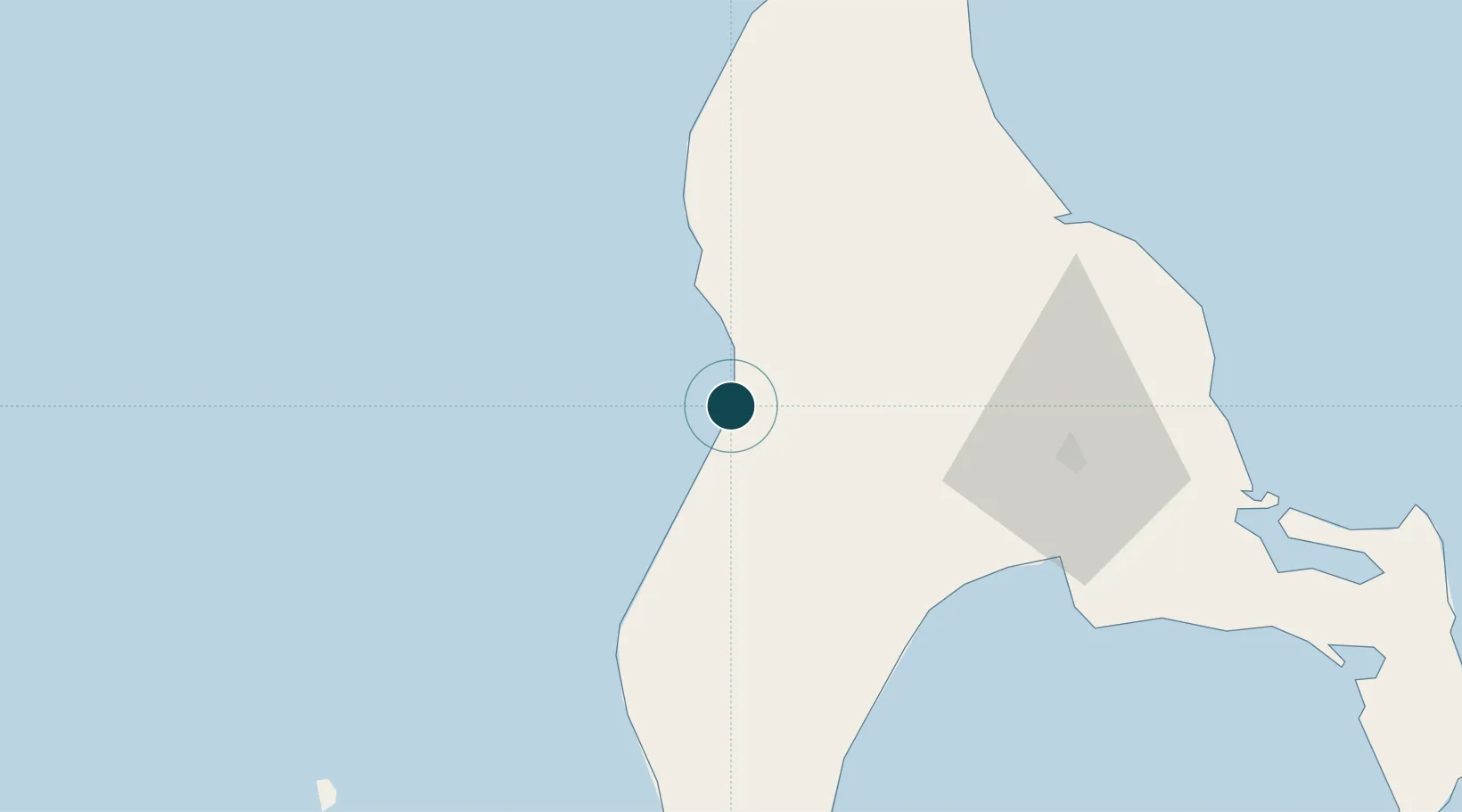
Nearby Logistics Neighbours
Ports
- 1Nevelsk45 km
- 2Korsakov73 km
- 3Uglegorsk226 km
- 4Shakhtersk235 km
- 5Sovetskaya Gavan252 km
Cities
- 1Korsakov73 km
- 2Prigorodnoye81 km
- 3Lesogorsk265 km
- 4Riegersdorf277 km
- 5Boshnyakovo289 km
Airports
- 1Yuzhno-Sakhalinsk International Airport54 km
- 2Dolinsk-Sokol Air Base59 km
- 3Wakkanai Airport184 km
- 4Rishiri Airport212 km
- 5Shakhtyorsk Airport238 km
DatabookThe Record of Consolidated Knowledge
Russia beyond logistics?