Channel & Berth Profile
Pilotage, Tugs & Services
Pilotage availableNO
Tug assistanceYES
Potable waterYES
MedicalYES
Facilities & Capabilities
Container—
Ro-Ro—
Liquid bulk—
Dry bulk—
Oil terminal—
Break bulk—
Dry dock—
RepairsNO
Bunkering—
Rail linkYES
Dangerous cargo—
ISPS security—
Harbour Specifications
Harbour size
Very Small
Harbour type
Open Roadstead
Shelter
Poor
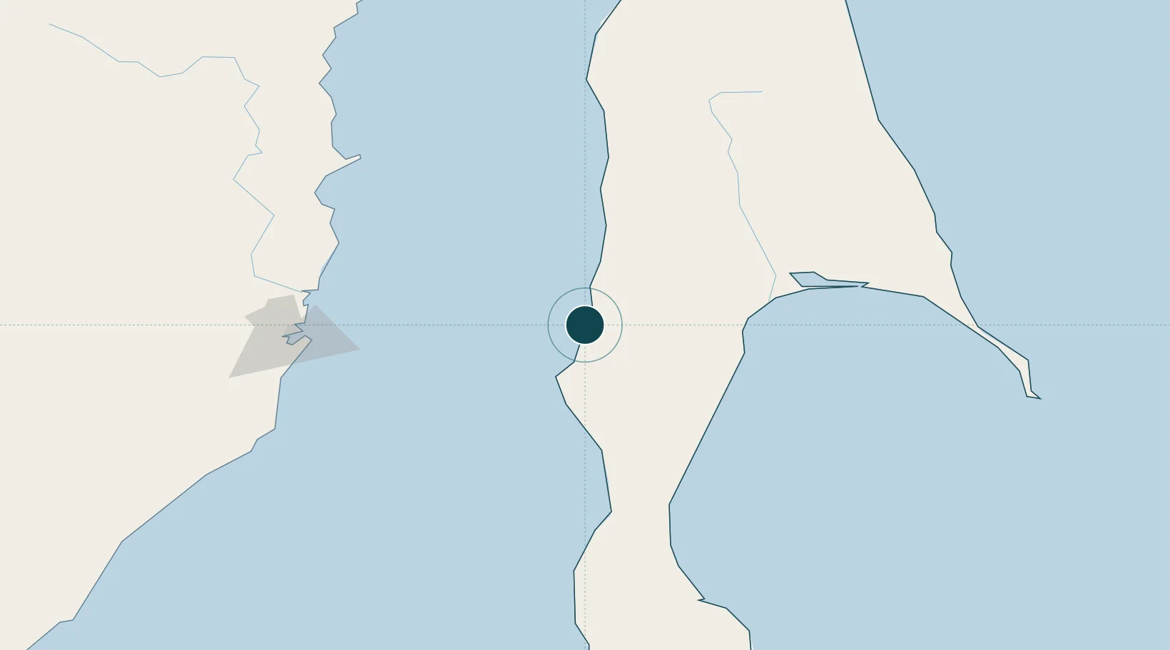
Water body
Tatar Strait; North Pacific Ocean
Tidal range
0.6 m
Overhead limit
Yes
Location
Nearby Logistics Neighbours
Ports
- 1Shakhtersk10 km
- 2Lesogorsk41 km
- 3Poronaysk81 km
- 4Bukhta Vanino127 km
- 5Sovetskaya Gavan129 km
Cities
- 1Lesogorsk39 km
- 2Boshnyakovo64 km
- 3Novy Knin81 km
- 4Libis151 km
- 5Dehtary156 km
Airports
DatabookThe Record of Consolidated Knowledge
Russia beyond logistics?