Channel & Berth Profile
Pilotage, Tugs & Services
Pilotage availableNO
Tug assistanceYES
Facilities & Capabilities
Container—
Ro-Ro—
Liquid bulk—
Dry bulk—
Oil terminal—
Break bulk—
Dry dock—
Repairs—
Bunkering—
Rail linkYES
Dangerous cargo—
ISPS security—
Harbour Specifications
Harbour size
Very Small
Harbour type
Coastal (Natural)
Shelter
Fair
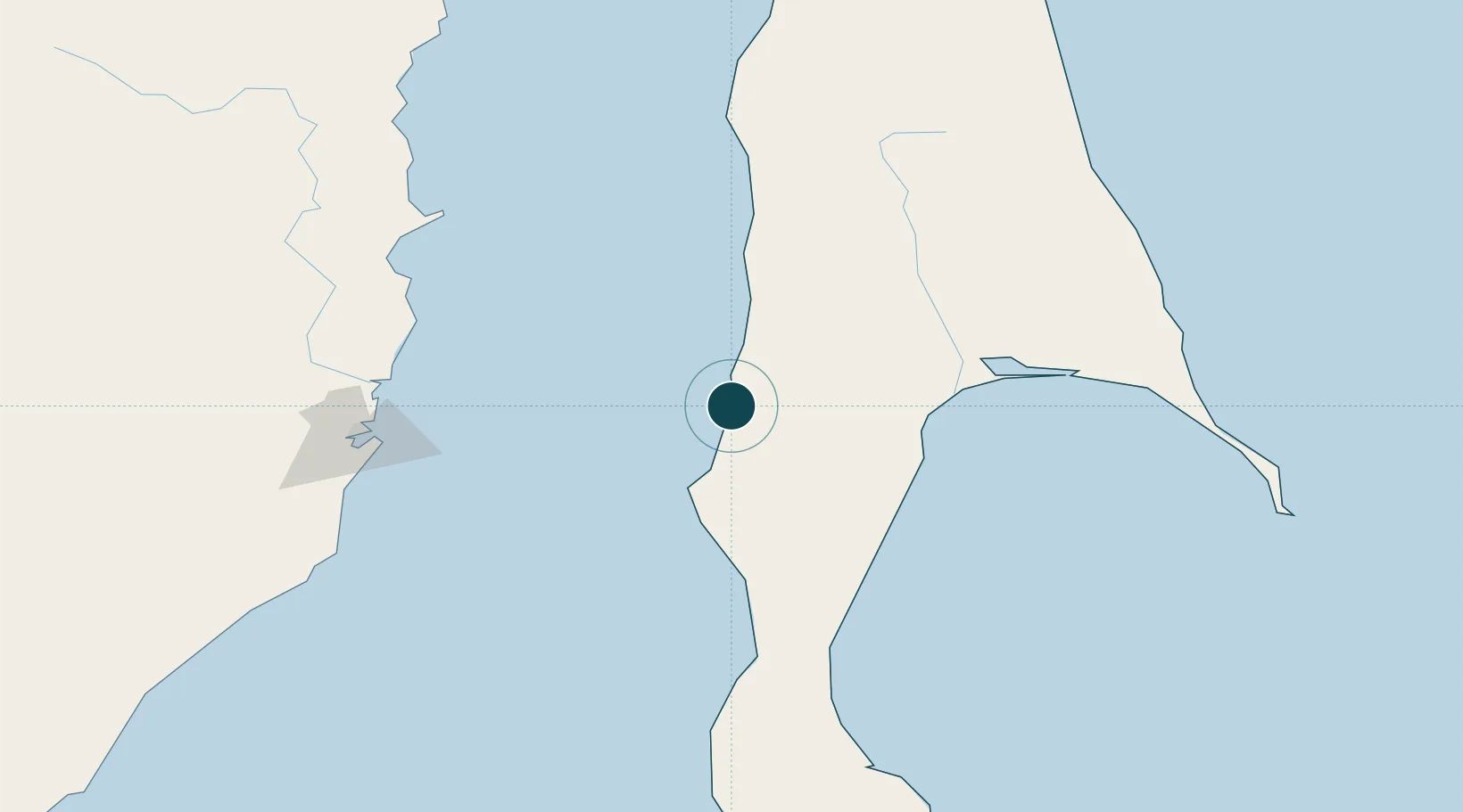
Water body
Tatar Strait; North Pacific Ocean
Location
Nearby Logistics Neighbours
Ports
- 1Uglegorsk10 km
- 2Lesogorsk32 km
- 3Poronaysk78 km
- 4Bukhta Vanino130 km
- 5Sovetskaya Gavan133 km
Cities
- 1Lesogorsk30 km
- 2Boshnyakovo54 km
- 3Novy Knin71 km
- 4Libis141 km
- 5Dehtary150 km
Airports
DatabookThe Record of Consolidated Knowledge
Russia beyond logistics?