Channel & Berth Profile
Pilotage, Tugs & Services
Pilotage compulsoryNO
Pilotage availableNO
Potable waterNO
Diesel bunkersNO
MedicalYES
Facilities & Capabilities
Container—
Ro-Ro—
Liquid bulk—
Dry bulk—
Oil terminal—
Break bulk—
Dry dock—
Repairs—
BunkeringNO
Rail linkYES
Dangerous cargo—
ISPS security—
Harbour Specifications
Harbour size
Very Small
Harbour type
Open Roadstead
Shelter
Fair
Water body
Sea of Okhotsk; North Pacific Ocean
Tidal range
0.3 m
Pilotage
No
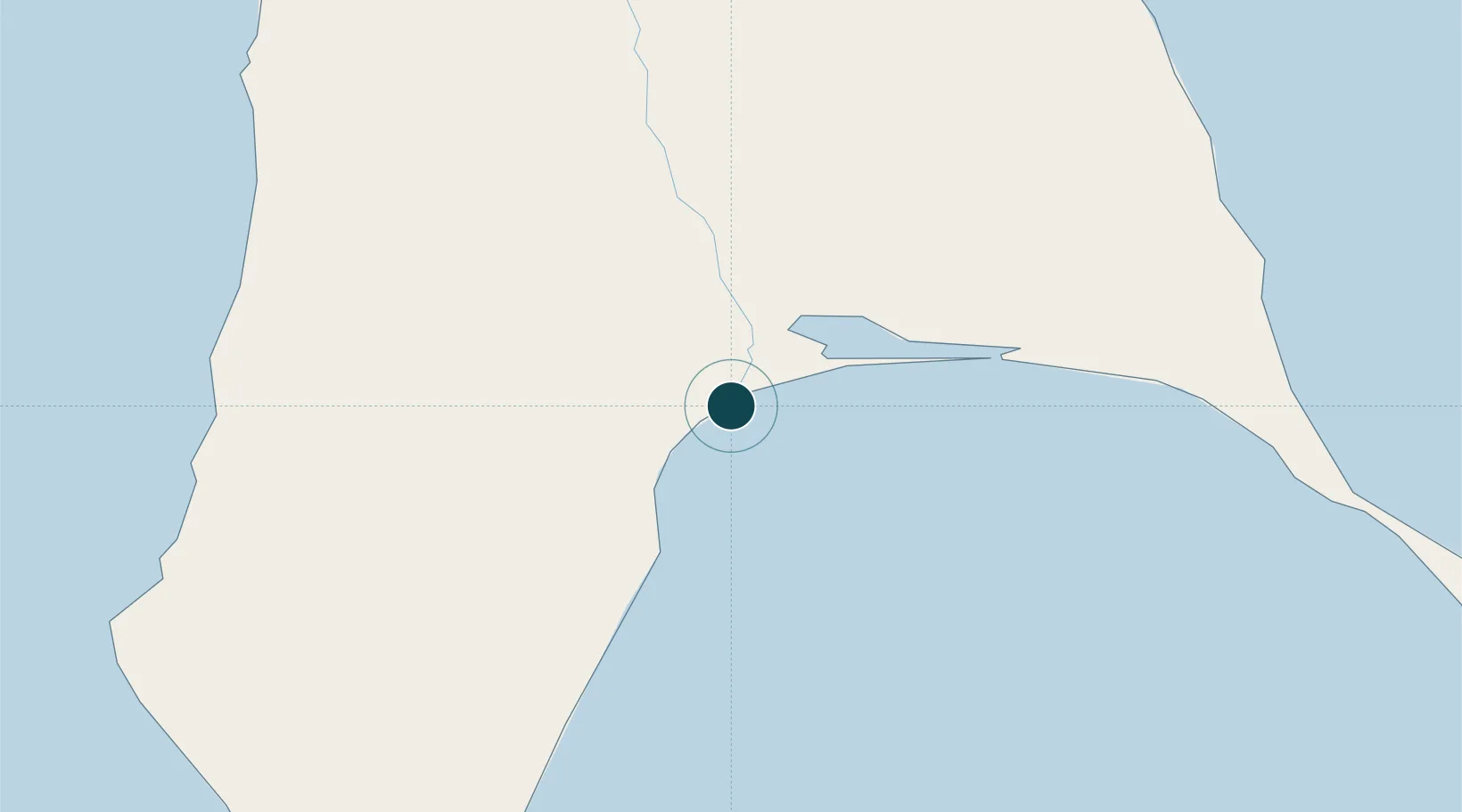
Location
Nearby Logistics Neighbours
Ports
- 1Lesogorsk77 km
- 2Shakhtersk78 km
- 3Uglegorsk81 km
- 4Mys Rogatyy Oktyabrskiy184 km
- 5Aleksandrovsk -Sakhalinskiy200 km
Cities
- 1Lesogorsk78 km
- 2Boshnyakovo85 km
- 3Novy Knin86 km
- 4Boranovice111 km
- 5Libis119 km
Airports
DatabookThe Record of Consolidated Knowledge
Russia beyond logistics?