Transport Functions
Port
Rail
Road
Hub Profile
Place type
Provincial seat
Region
Sakhalin Oblast
Population
32,681
Time zone
Asia/Sakhalin
Elevation
9 m
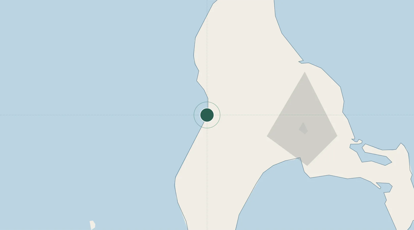
Location
Nearby Logistics Neighbours
Cities
- 1Korsakov73 km
- 2Prigorodnoye81 km
- 3Lesogorsk265 km
- 4Riegersdorf277 km
- 5Boshnyakovo289 km
Ports
- 1Nevelsk45 km
- 2Korsakov73 km
- 3Uglegorsk226 km
- 4Shakhtersk235 km
- 5Sovetskaya Gavan252 km
Airports
- 1Yuzhno-Sakhalinsk International Airport54 km
- 2Dolinsk-Sokol Air Base59 km
- 3Wakkanai Airport184 km
- 4Rishiri Airport212 km
- 5Shakhtyorsk Airport238 km
DatabookThe Record of Consolidated Knowledge
Russia beyond logistics?