Transport Functions
Multimodal
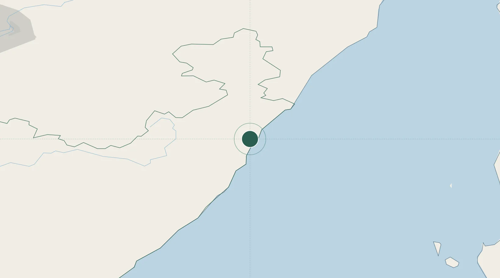
Hub Profile
Place type
Populated place
Region
Styria
Population
212
Time zone
Europe/Vienna
Elevation
284 m
Location
Nearby Logistics Neighbours
Cities
- 1Kholmsk277 km
- 2Khabarovsk299 km
- 3Komen306 km
- 4Korsakov334 km
- 5Raohe335 km
Ports
- 1Nevelsk265 km
- 2Sovetskaya Gavan269 km
- 3Kholmsk277 km
- 4Bukhta Vanino280 km
- 5Korsakov334 km
Airports
- 1Bichevaya Airport228 km
- 2Sovetskaya Gavan (Maygatka) Airport256 km
- 3Rishiri Airport283 km
- 4Plastun Airport284 km
- 5Kamenny Ruchey Naval Air Base292 km
Trade Zones
DatabookThe Record of Consolidated Knowledge
Austria beyond logistics?