Channel & Berth Profile
Pilotage, Tugs & Services
Pilotage compulsoryYES
Pilotage availableYES
Pilotage advisableYES
Local assistanceYES
Tug assistanceYES
Shore powerYES
Potable waterYES
Diesel bunkersYES
MedicalYES
Facilities & Capabilities
Container—
Ro-Ro—
Liquid bulk—
Dry bulk—
Oil terminal—
Break bulk—
Dry dockNO
RepairsNO
Bunkering—
Rail linkYES
Dangerous cargo—
ISPS security—
Harbour Specifications
Harbour size
Very Small
Harbour type
Coastal (Breakwater)
Shelter
Poor
Water body
Tatar Strait; North Pacific Ocean
Tidal range
0.2 m
Pilotage
Yes
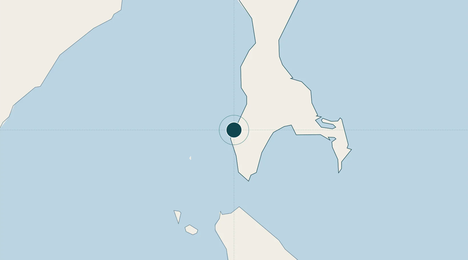
Location
Nearby Logistics Neighbours
Ports
- 1Kholmsk45 km
- 2Korsakov69 km
- 3Uglegorsk269 km
- 4Shakhtersk278 km
- 5Sovetskaya Gavan283 km
Cities
- 1Kholmsk45 km
- 2Korsakov69 km
- 3Prigorodnoye79 km
- 4Riegersdorf265 km
- 5Lesogorsk308 km
Airports
- 1Yuzhno-Sakhalinsk International Airport69 km
- 2Dolinsk-Sokol Air Base95 km
- 3Wakkanai Airport141 km
- 4Rishiri Airport167 km
- 5Shakhtyorsk Airport281 km
DatabookThe Record of Consolidated Knowledge
Russia beyond logistics?