Transport Functions
Port
Rail
Hub Profile
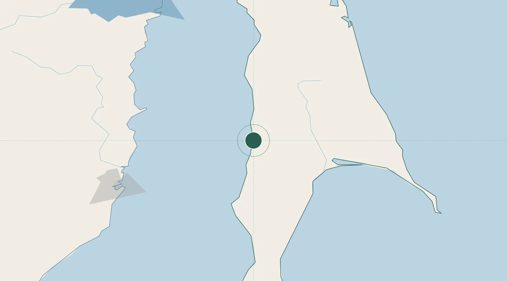
Place type
Populated place
Region
Sakhalin Oblast
Population
1,491
Time zone
Asia/Sakhalin
Elevation
11 m
Location
Nearby Logistics Neighbours
Cities
- 1Novy Knin19 km
- 2Lesogorsk24 km
- 3Libis92 km
- 4Boranovice112 km
- 5Dehtary123 km
Ports
- 1Lesogorsk22 km
- 2Shakhtersk54 km
- 3Uglegorsk64 km
- 4Poronaysk85 km
- 5Mys Rogatyy Oktyabrskiy121 km
Airports
- 1Shakhtyorsk Airport52 km
- 2Kamenny Ruchey Naval Air Base150 km
- 3Sovetskaya Gavan (Maygatka) Airport174 km
- 4Nogliki Airport247 km
- 5Dolinsk-Sokol Air Base269 km
DatabookThe Record of Consolidated Knowledge
Russia beyond logistics?