Runway & Layout

Airport Specifications
IATA code
SYS
ICAO code
UERS
Airport class
Medium airport
Scheduled service
Yes
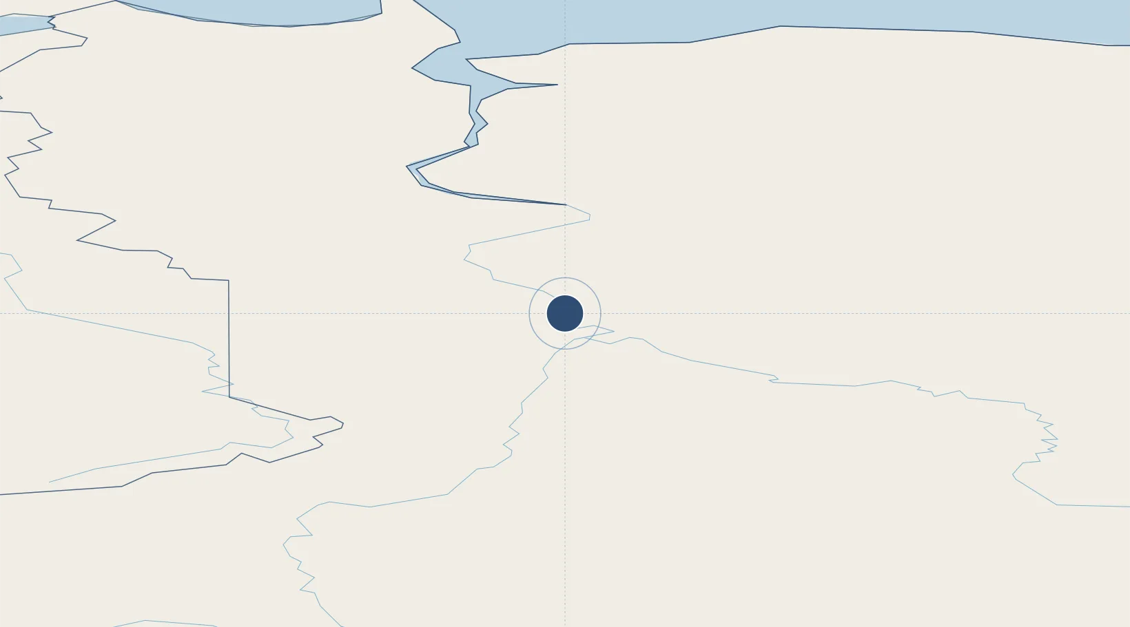
Served city
Saskylakh
Location
Nearby Logistics Neighbours
Airports
- 1Khatanga Airport399 km
- 2Tiksi Airport514 km
- 3Polyarny Airport620 km
- 4Aykhal Airport671 km
- 5Zhigansk Airport675 km
Ports
- 1Tiksi514 km
- 2Dudinka1055 km
- 3Igarka1158 km
- 4Okhotsk Iy Reyd1895 km
- 5Moskal Vo2450 km
Trade Zones
DatabookThe Record of Consolidated Knowledge
Russia beyond logistics?