Transport Functions
Rail
Road
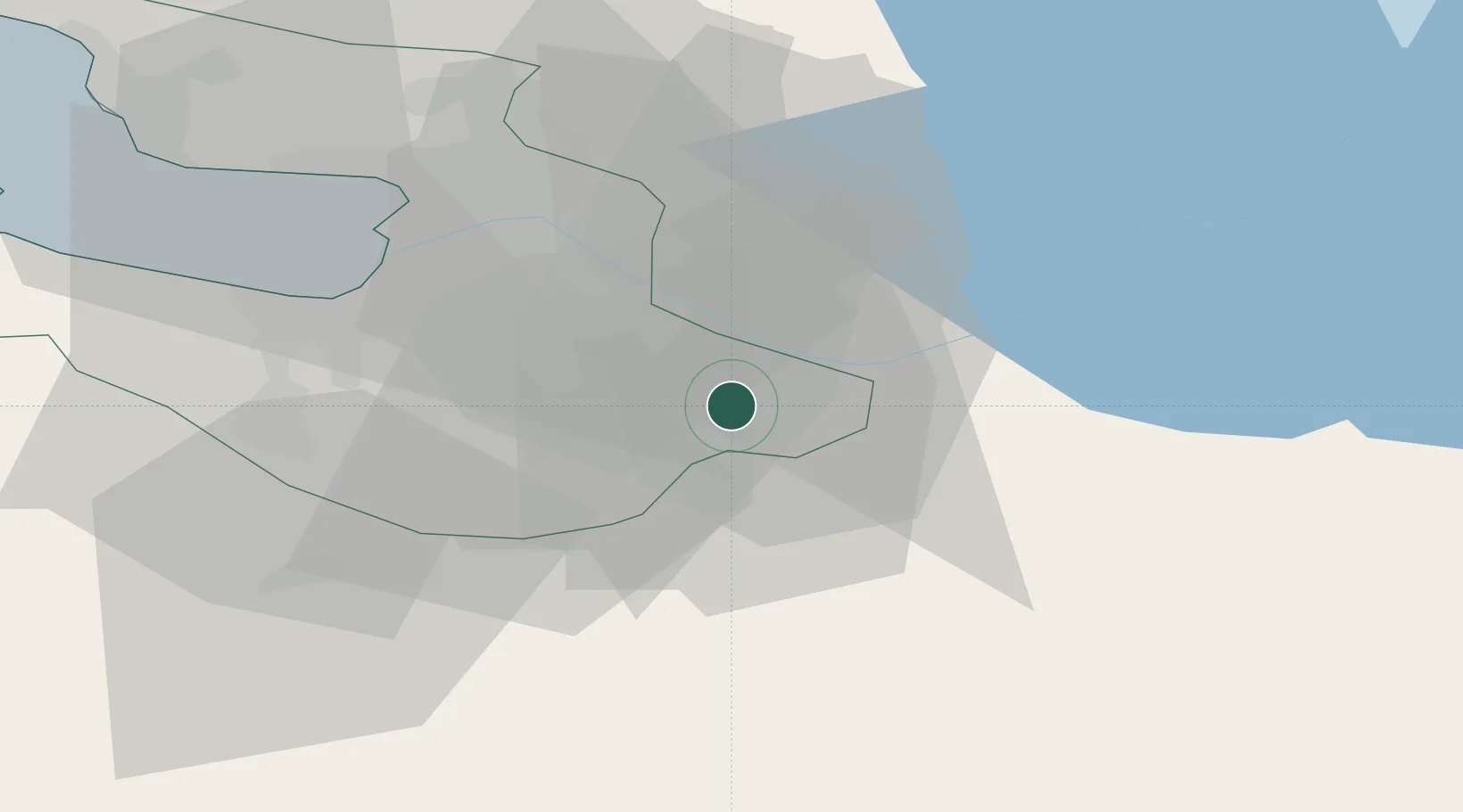
Hub Profile
Place type
Populated place
Region
St.-Petersburg
Population
138,979
Time zone
Europe/Moscow
Elevation
19 m
Location
Nearby Logistics Neighbours
Cities
- 1Shushary8 km
- 2Pushkin11 km
- 3Saint Petersburg (ex Leningrad)21 km
- 4Vsevolozhsk28 km
- 5Tosno28 km
Ports
- 1Lomonosov50 km
- 2Kronshtadt53 km
- 3Ust Luga128 km
- 4Primorsk129 km
- 5Gavan Vysotsk148 km
Airports
- 1Pushkin Airport16 km
- 2Pulkovo Airport20 km
- 3Levashovo Air Base44 km
- 4Pribylovo Naval Air Base129 km
- 5Krechevitsy Air Base133 km
Trade Zones
DatabookThe Record of Consolidated Knowledge
Russia beyond logistics?