Transport Functions
Multimodal
Hub Profile
Place type
Populated place
Region
St.-Petersburg
Population
15,503
Time zone
Europe/Moscow
Elevation
24 m
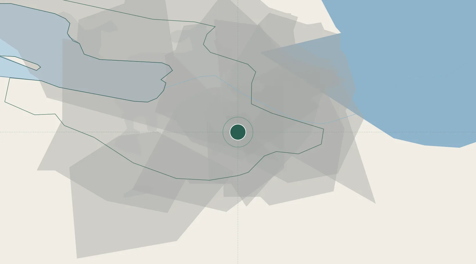
Location
Nearby Logistics Neighbours
Cities
- 1Pushkin6 km
- 2Kolpino8 km
- 3Saint Petersburg (ex Leningrad)15 km
- 4Vsevolozhsk28 km
- 5Gatchina32 km
Ports
- 1Lomonosov43 km
- 2Kronshtadt45 km
- 3Ust Luga121 km
- 4Primorsk122 km
- 5Gavan Vysotsk141 km
Airports
- 1Pushkin Airport12 km
- 2Pulkovo Airport12 km
- 3Levashovo Air Base39 km
- 4Pribylovo Naval Air Base123 km
- 5Krechevitsy Air Base137 km
Trade Zones
DatabookThe Record of Consolidated Knowledge
Russia beyond logistics?