Transport Functions
Rail
Road
Hub Profile
Place type
Regional capital
Region
Vaslui County
Population
63,035
Time zone
Europe/Bucharest
Elevation
96 m
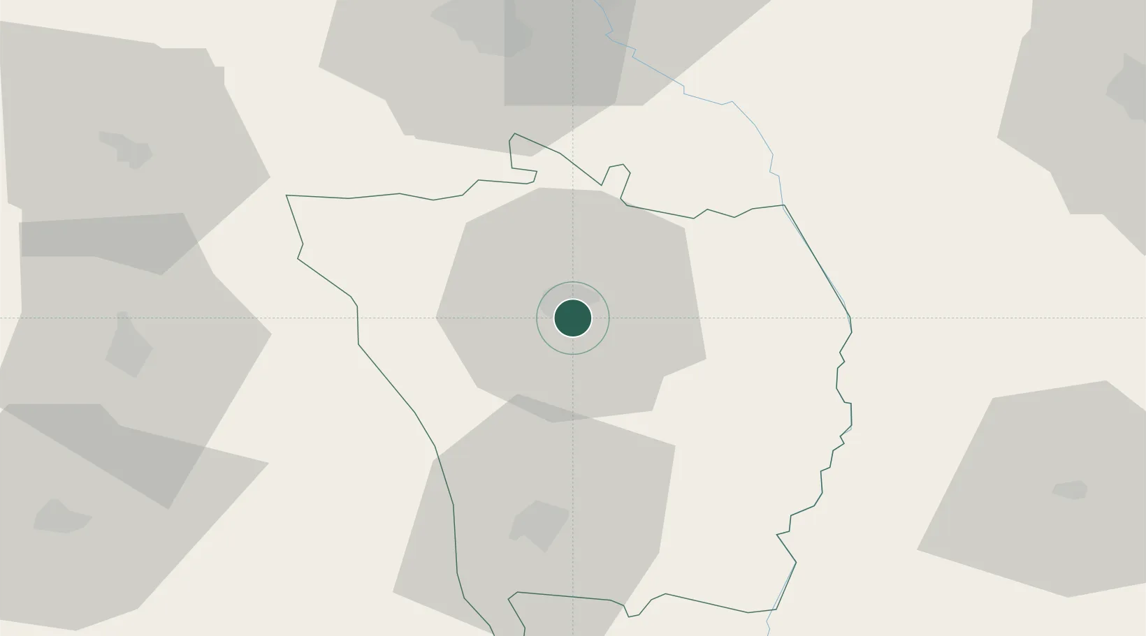
Location
Nearby Logistics Neighbours
Cities
- 1Husi25 km
- 2Rediu32 km
- 3Iasi60 km
- 4Margineni64 km
- 5Valea Lupului64 km
Airports
DatabookThe Record of Consolidated Knowledge
Romania beyond logistics?