Transport Functions
Multimodal
Hub Profile
Place type
Provincial seat
Region
Brăila County
Population
11,209
Time zone
Europe/Bucharest
Elevation
31 m
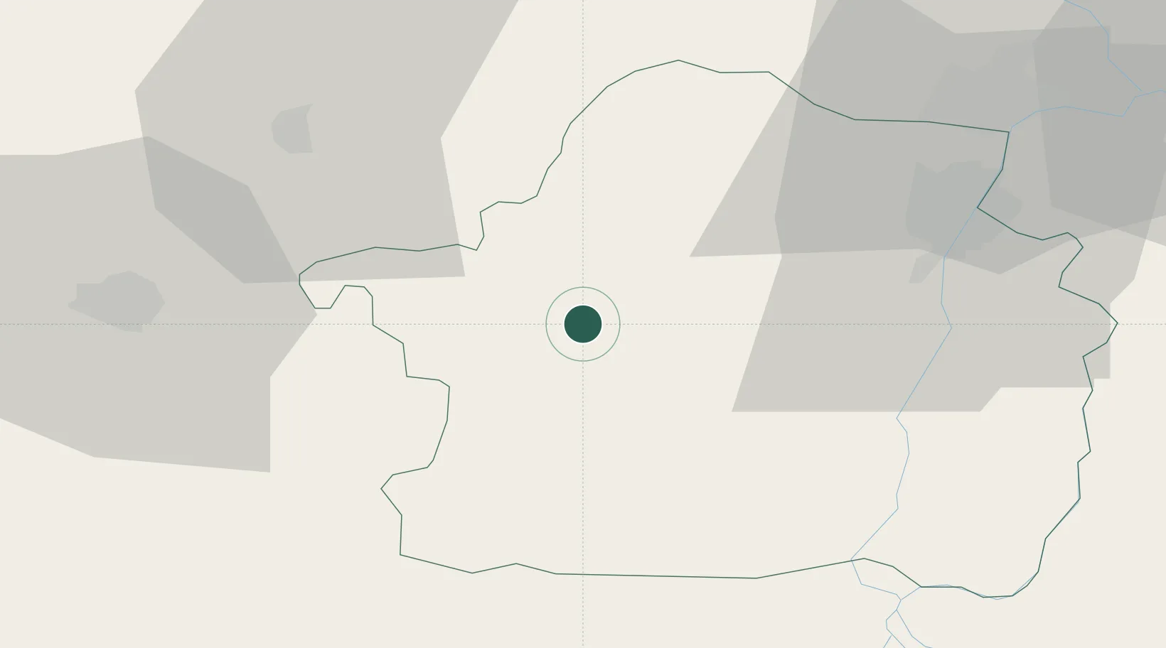
Location
Nearby Logistics Neighbours
Cities
- 1Chiscani38 km
- 2Braila44 km
- 3Galati58 km
- 4Macin58 km
- 5Ivesti, Galati60 km
Airports
- 1Boboc Air Base38 km
- 2Feteşti Borcea Air Base85 km
- 3Tulcea Danube Delta Airport100 km
- 4Cahul International Airport101 km
- 5Zhovtneve Air Base111 km
Trade Zones
DatabookThe Record of Consolidated Knowledge
Romania beyond logistics?