Transport Functions
Rail
Road
Border Crossing
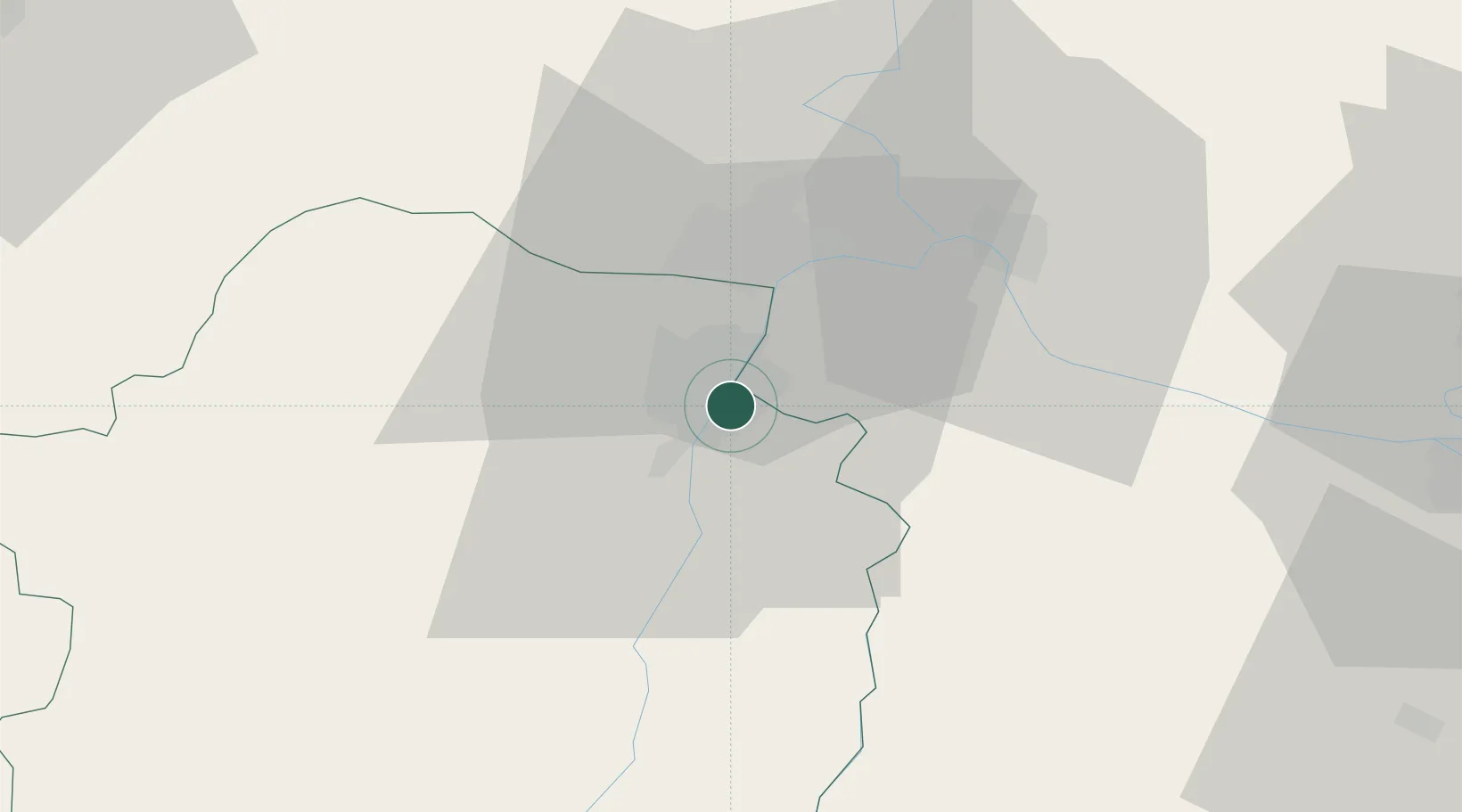
Hub Profile
Place type
Regional capital
Region
Brăila County
Population
154,686
Time zone
Europe/Bucharest
Elevation
22 m
Location
Nearby Logistics Neighbours
Cities
- 1Chiscani10 km
- 2Macin15 km
- 3Galati19 km
- 4Giurgiulesti27 km
- 5Reni29 km
Airports
- 1Tulcea Danube Delta Airport62 km
- 2Zhovtneve Air Base68 km
- 3Cahul International Airport68 km
- 4Boboc Air Base79 km
- 5Feteşti Borcea Air Base99 km
Trade Zones
DatabookThe Record of Consolidated Knowledge
Romania beyond logistics?