Transport Functions
Rail
Road
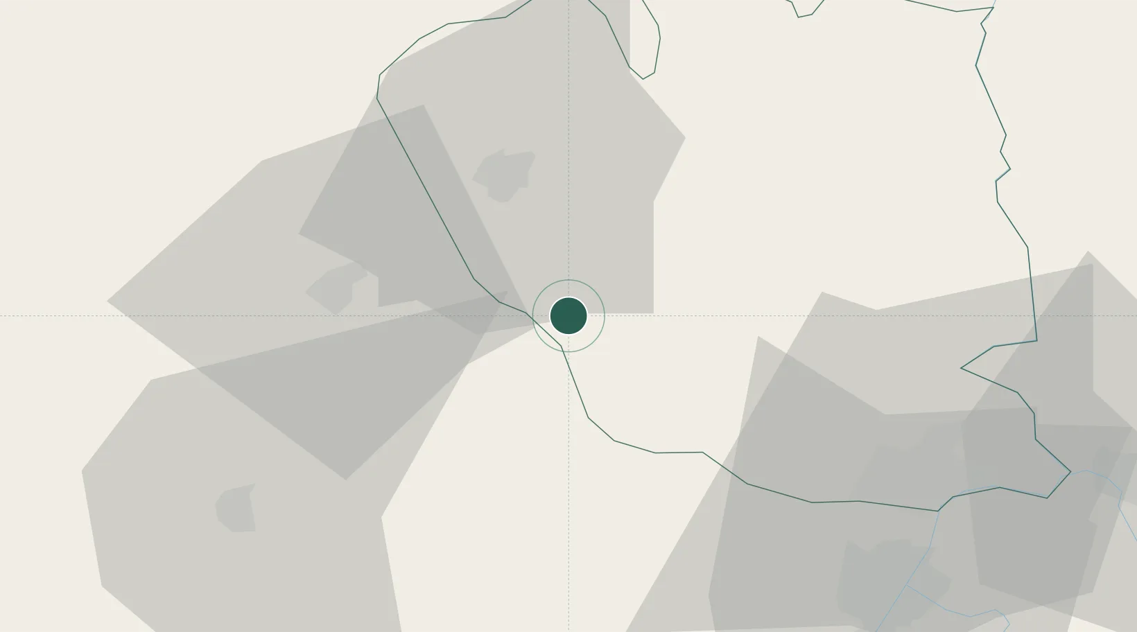
Location
Nearby Logistics Neighbours
Cities
- 1Tecuci24 km
- 2Jaristea37 km
- 3Odobesti38 km
- 4Galati49 km
- 5Giurgiulesti57 km
Airports
- 1Cahul International Airport61 km
- 2Boboc Air Base65 km
- 3Zhovtneve Air Base90 km
- 4Bacău George Enescu International Airport106 km
- 5Tulcea Danube Delta Airport115 km
Trade Zones
DatabookThe Record of Consolidated Knowledge
Romania beyond logistics?