UN/LOCODE hub · Romania
ROGAL

Galati

45.4333°, 28.0500°
217,851
Population
2
Transport functions

Transport Functions

Port
Border Crossing
Galati is also a profiled seaport →
UN/LOCODE

Hub Profile

Place type
Regional capital
GeoNames
Region
Galați County
GeoNames
Population
217,851
GeoNames
Time zone
Europe/Bucharest
GeoNames
Elevation
24 m
GeoNames

Location

Location of ROGAL
Natural Earth 10m (public domain) · Galați County · ROGAL · 45.43, 28.05GoogleOSMYandex

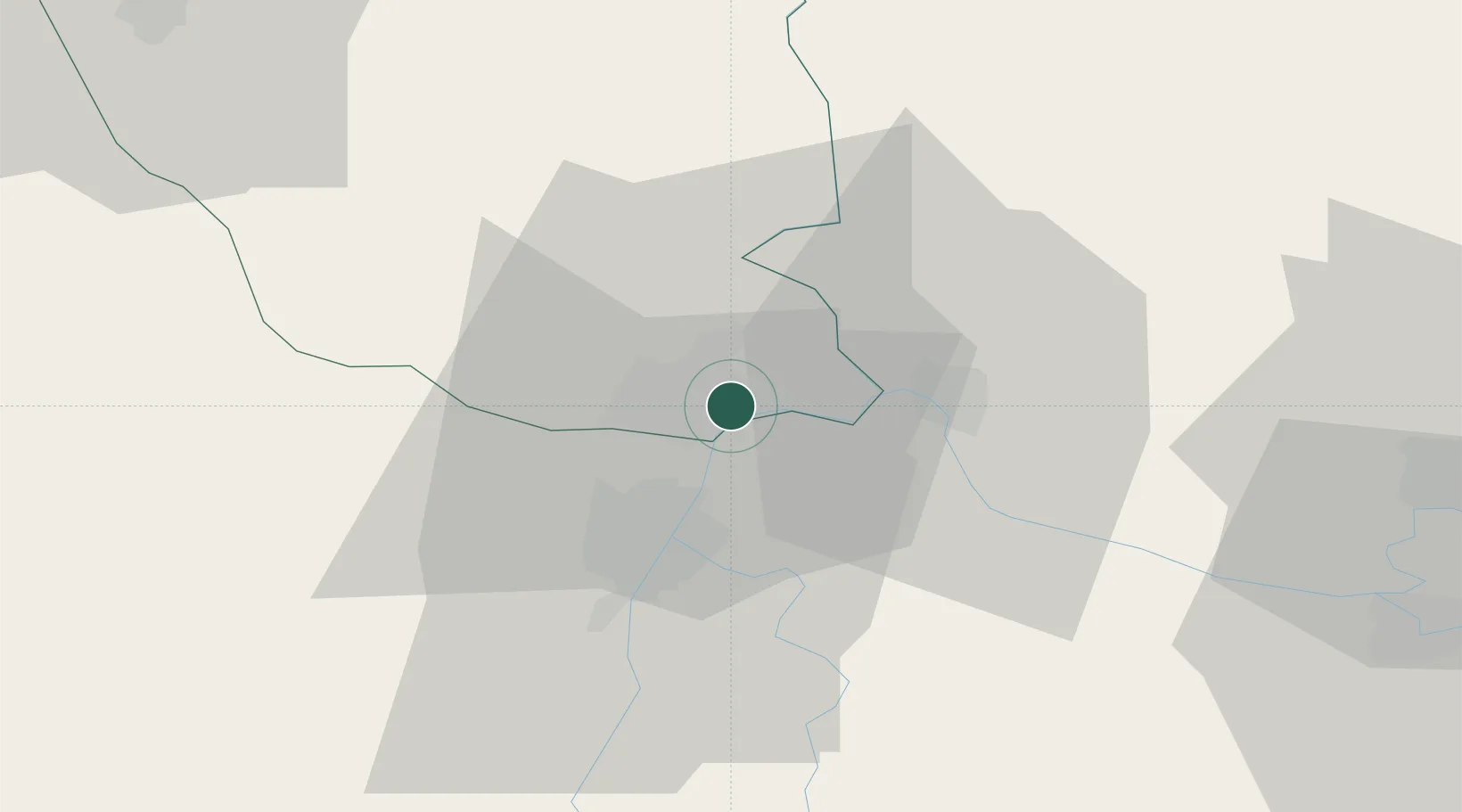
Nearby Logistics Neighbours

Cities
  1. 1Giurgiulesti11 km
  2. 2Reni18 km
  3. 3Braila19 km
  4. 4Macin22 km
  5. 5Chiscani29 km
Nearest neighbours — logibook spatial index (haversine) over the source coordinates
Ports
  1. 1Reni20 km
  2. 2Braila21 km
  3. 3Izmayil64 km
  4. 4Tulcea67 km
  5. 5Cernavoda122 km
Nearest neighbours — logibook spatial index (haversine) over the source coordinates
Airports
  1. 1Cahul International Airport49 km
  2. 2Zhovtneve Air Base54 km
  3. 3Tulcea Danube Delta Airport66 km
  4. 4Boboc Air Base87 km
  5. 5Feteşti Borcea Air Base119 km
Nearest neighbours — logibook spatial index (haversine) over the source coordinates
Trade Zones
  1. 1Giurgiulesti International Free Port13 km
  2. 2Reni Special Economic Zone18 km
  3. 3Free zone Brăila19 km
  4. 4Free Enterprise Zone - Production Park Taraclia70 km
  5. 5Free Zone Galați79 km
Nearest neighbours — logibook spatial index (haversine) over the source coordinates
DatabookThe Record of Consolidated Knowledge
Romania beyond logistics?
Browse databook

All Sources

LocationsUN/LOCODE
UN/LOCODE — free
LocationsGeoNames
CC BY 4.0
Portsthe NGA World Port Index
Public domain (US gov)
AirportsOurAirports
Public domain
Trade Zonesthe World Bank SEZ database
CC BY 4.0
Trade ZonesOpen Zone Map
CC BY
← Romania locations