Transport Functions
Port
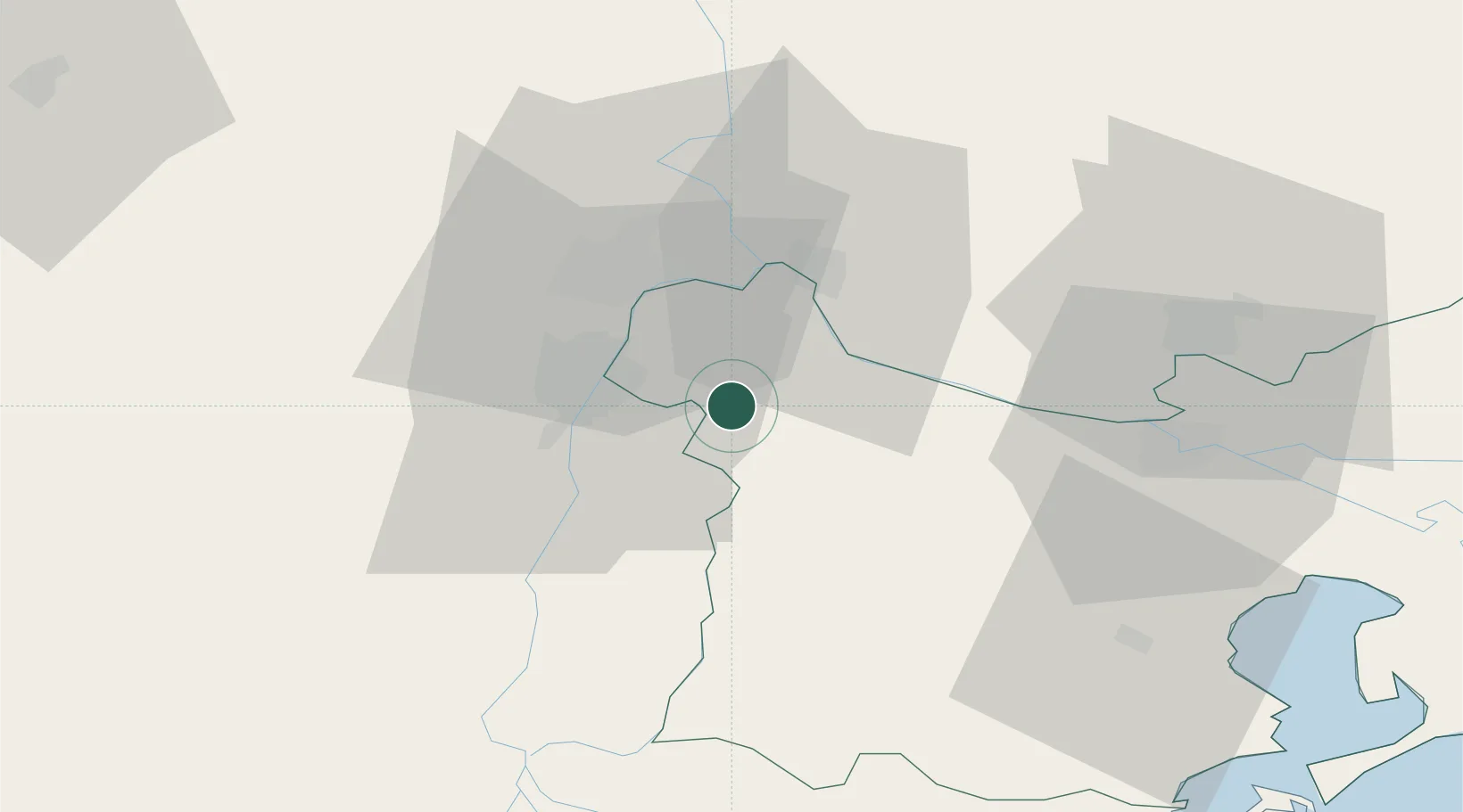
Hub Profile
Place type
Provincial seat
Region
Tulcea County
Population
10,295
Time zone
Europe/Bucharest
Elevation
36 m
Location
Nearby Logistics Neighbours
Airports
- 1Tulcea Danube Delta Airport48 km
- 2Zhovtneve Air Base59 km
- 3Cahul International Airport67 km
- 4Boboc Air Base93 km
- 5Feteşti Borcea Air Base102 km
Trade Zones
DatabookThe Record of Consolidated Knowledge
Romania beyond logistics?