Transport Functions
Rail
Road
Hub Profile
Place type
Provincial seat
Region
Mureș County
Population
4,719
Time zone
Europe/Bucharest
Elevation
323 m
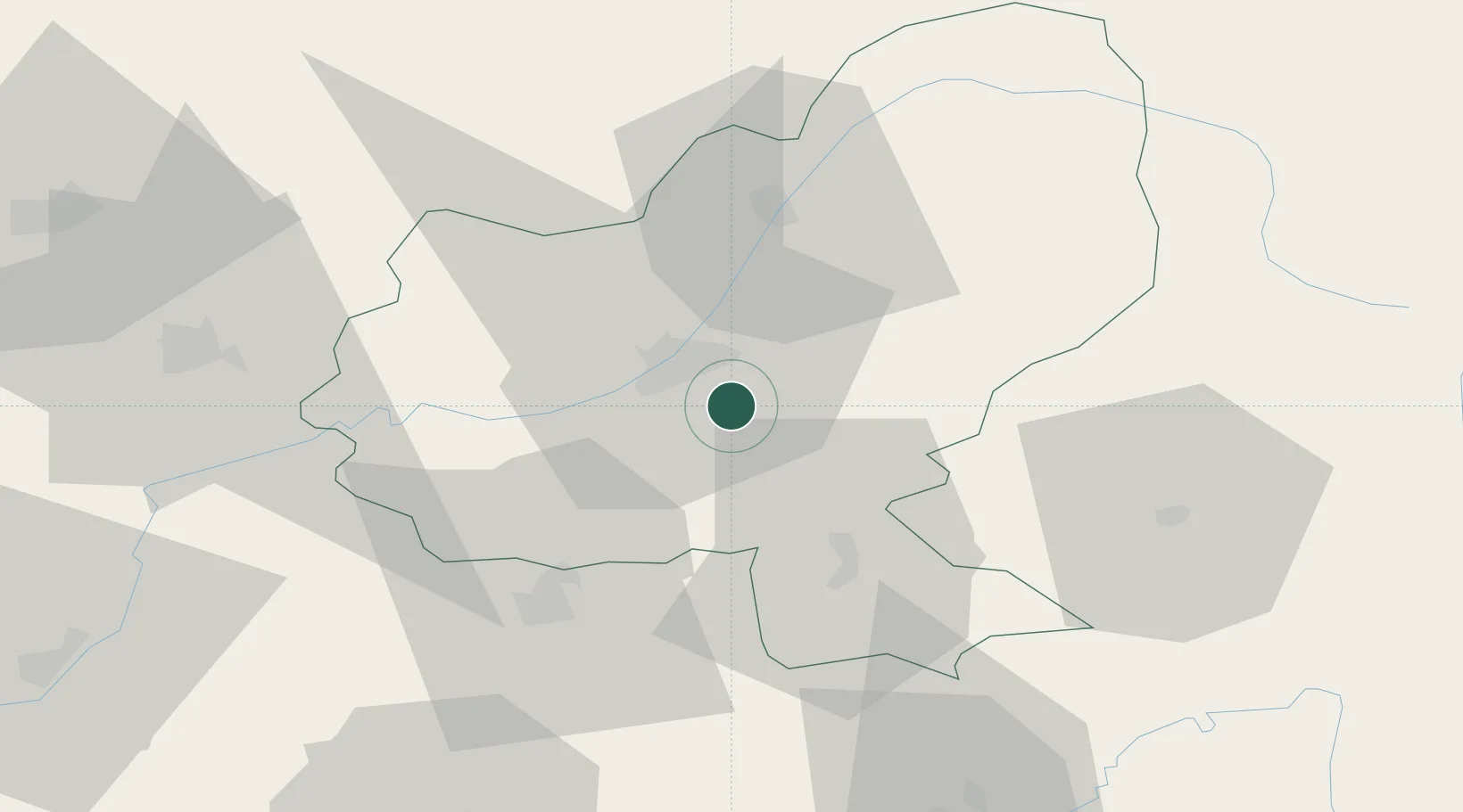
Location
Nearby Logistics Neighbours
Cities
- 1Livezeni7 km
- 2Sîntana de Mures11 km
- 3Nazna12 km
- 4Sîncraiu de Mures13 km
- 5Hodosa22 km
Airports
Trade Zones
- 1VGP Park Sibiu89 km
- 2VGP Park Brasov116 km
- 3Free Zone Galați222 km
- 4VGP Park Buharest North246 km
- 5Zona Economică Liberă Bălți248 km
DatabookThe Record of Consolidated Knowledge
Romania beyond logistics?