Transport Functions
Multimodal
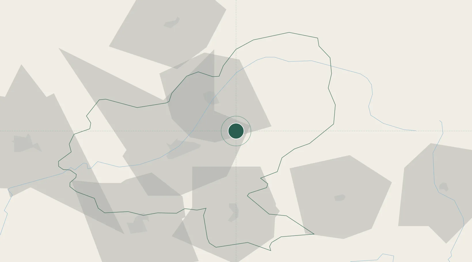
Hub Profile
Place type
Provincial seat
Region
Mureș County
Population
1,390
Time zone
Europe/Bucharest
Elevation
455 m
Location
Nearby Logistics Neighbours
Airports
Trade Zones
- 1VGP Park Sibiu111 km
- 2VGP Park Brasov122 km
- 3Free Zone Galați221 km
- 4Zona Economică Liberă Bălți228 km
- 5Free Enterprise Zone - Production Park Ungheni Business236 km
DatabookThe Record of Consolidated Knowledge
Romania beyond logistics?