UN/LOCODE hub · Romania
ROBAB

Basarabi

44.1667°, 28.3667°
1,685
Population
1
Transport functions

Transport Functions

Port
Basarabi is also a profiled seaport →
UN/LOCODE

Hub Profile

Place type
Populated place
GeoNames
Region
Suceava
GeoNames
Population
1,685
GeoNames
Time zone
Europe/Bucharest
GeoNames
Elevation
267 m
GeoNames

Location

Location of ROBAB
Natural Earth 10m (public domain) · Suceava · ROBAB · 44.17, 28.37GoogleOSMYandex

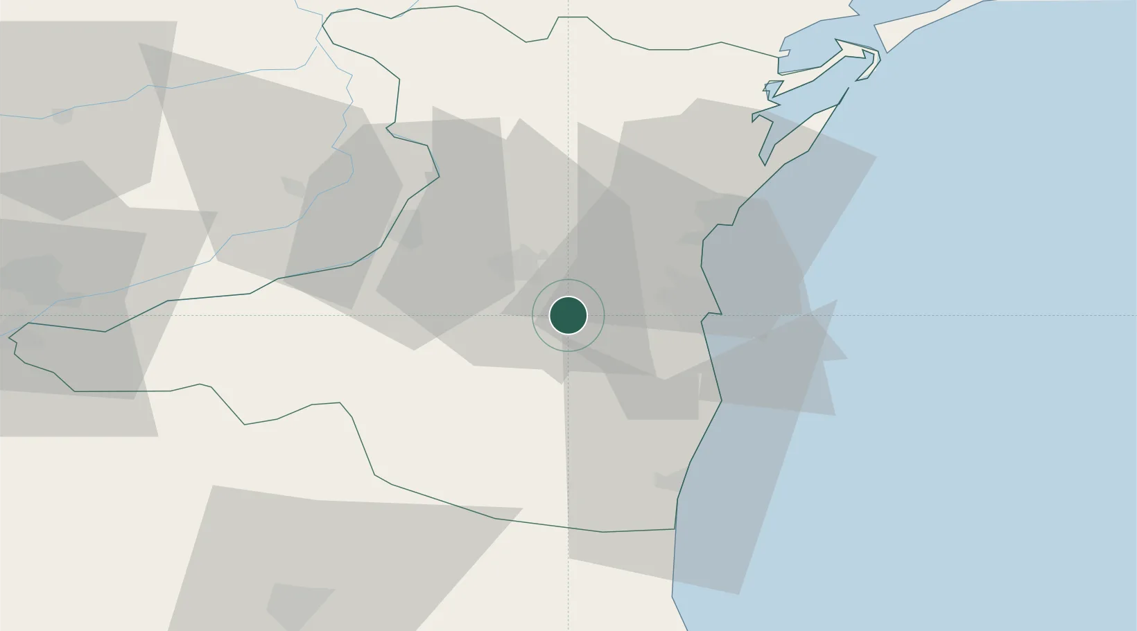
Nearby Logistics Neighbours

Cities
  1. 1Poarta Alba6 km
  2. 2Medgidia12 km
  3. 3Ovidiu19 km
  4. 4Lumina22 km
  5. 5Luminita22 km
Nearest neighbours — logibook spatial index (haversine) over the source coordinates
Ports
  1. 1Medgidia12 km
  2. 2Constanta23 km
  3. 3Cernavoda31 km
  4. 4Midia31 km
  5. 5Mangalia43 km
Nearest neighbours — logibook spatial index (haversine) over the source coordinates
Airports
  1. 1Mihail Kogălniceanu International Airport24 km
  2. 2Feteşti Borcea Air Base57 km
  3. 3Balchik Airfield84 km
  4. 4Tulcea Danube Delta Airport103 km
  5. 5Varna Airport113 km
Nearest neighbours — logibook spatial index (haversine) over the source coordinates
Trade Zones
  1. 1Free Zone Constanō£a Sud si Basarabi10 km
  2. 2Free zone Brăila127 km
  3. 3Reni Special Economic Zone142 km
  4. 4Giurgiulesti International Free Port145 km
  5. 5Free Zone Sulina148 km
Nearest neighbours — logibook spatial index (haversine) over the source coordinates
DatabookThe Record of Consolidated Knowledge
Romania beyond logistics?
Browse databook

All Sources

LocationsUN/LOCODE
UN/LOCODE — free
LocationsGeoNames
CC BY 4.0
Portsthe NGA World Port Index
Public domain (US gov)
AirportsOurAirports
Public domain
Trade Zonesthe World Bank SEZ database
CC BY 4.0
Trade ZonesOpen Zone Map
CC BY
← Romania locations