UN/LOCODE hub · Romania
ROCND
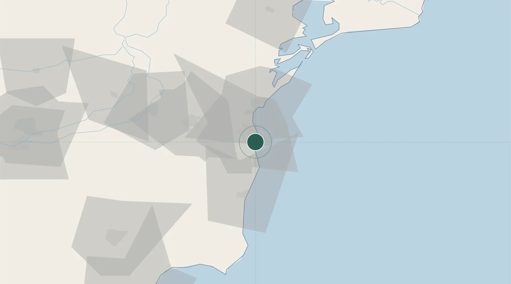
Constanta
44.1444°, 28.6475°
317,832
Population
5
Transport functions
2
Container terminals
Transport Functions
Port
Rail
Road
Airport
Multimodal
Hub Profile
Place type
Regional capital
Region
Constanța County
Population
317,832
Time zone
Europe/Bucharest
Elevation
40 m
Logistics facilities
15
Container terminals
2
Location
Nearby Logistics Neighbours
Cities
- 1Agigea5 km
- 2Eforie Sud11 km
- 3Luminita12 km
- 4Ovidiu15 km
- 5Lumina19 km
Airports
- 1Mihail Kogălniceanu International Airport27 km
- 2Feteşti Borcea Air Base78 km
- 3Balchik Airfield88 km
- 4Tulcea Danube Delta Airport102 km
- 5Varna Airport121 km
Trade Zones
- 1Free Zone Constanō£a Sud si Basarabi22 km
- 2Free Zone Sulina136 km
- 3Free zone Brăila136 km
- 4Reni Special Economic Zone147 km
- 5Giurgiulesti International Free Port151 km
DatabookThe Record of Consolidated Knowledge
Romania beyond logistics?