UN/LOCODE hub · Romania
ROAGI

Agigea

44.0994°, 28.6434°
5,405
Population
1
Transport functions

Transport Functions

Port
UN/LOCODE

Hub Profile

Place type
Provincial seat
GeoNames
Region
Constanța County
GeoNames
Population
5,405
GeoNames
Time zone
Europe/Bucharest
GeoNames
Elevation
10 m
GeoNames
Logistics facilities
14
UN/LOCODE

Location

Location of ROAGI
Natural Earth 10m (public domain) · Constanța County · ROAGI · 44.10, 28.64GoogleOSMYandex

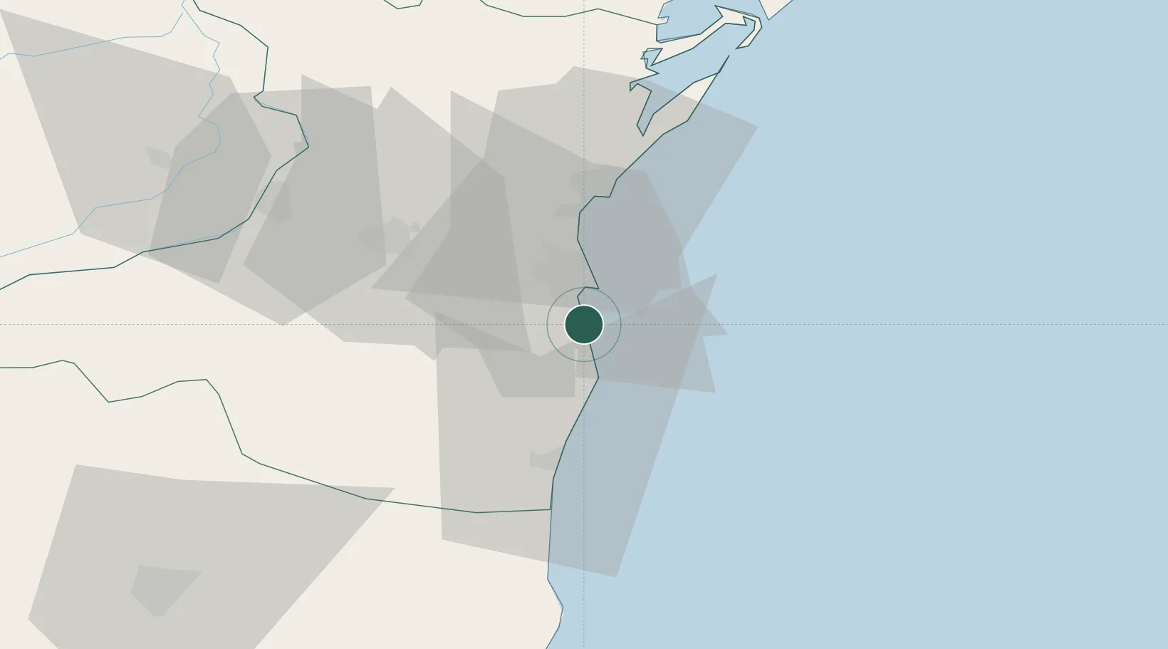
Nearby Logistics Neighbours

Cities
  1. 1Constanta5 km
  2. 2Eforie Sud6 km
  3. 3Luminita17 km
  4. 4Ovidiu20 km
  5. 5Lumina23 km
Nearest neighbours — logibook spatial index (haversine) over the source coordinates
Ports
  1. 1Constanta8 km
  2. 2Basarabi18 km
  3. 3Midia28 km
  4. 4Mangalia32 km
  5. 5Medgidia34 km
Nearest neighbours — logibook spatial index (haversine) over the source coordinates
Airports
  1. 1Mihail Kogălniceanu International Airport32 km
  2. 2Feteşti Borcea Air Base80 km
  3. 3Balchik Airfield84 km
  4. 4Tulcea Danube Delta Airport107 km
  5. 5Varna Airport117 km
Nearest neighbours — logibook spatial index (haversine) over the source coordinates
Trade Zones
  1. 1Free Zone Constanō£a Sud si Basarabi21 km
  2. 2Free Zone Sulina140 km
  3. 3Free zone Brăila141 km
  4. 4Reni Special Economic Zone152 km
  5. 5Giurgiulesti International Free Port156 km
Nearest neighbours — logibook spatial index (haversine) over the source coordinates
DatabookThe Record of Consolidated Knowledge
Romania beyond logistics?
Browse databook

All Sources

LocationsUN/LOCODE
UN/LOCODE — free
LocationsGeoNames
CC BY 4.0
Portsthe NGA World Port Index
Public domain (US gov)
AirportsOurAirports
Public domain
Trade Zonesthe World Bank SEZ database
CC BY 4.0
Trade ZonesOpen Zone Map
CC BY
← Romania locations