UN/LOCODE hub · Romania
ROOSE
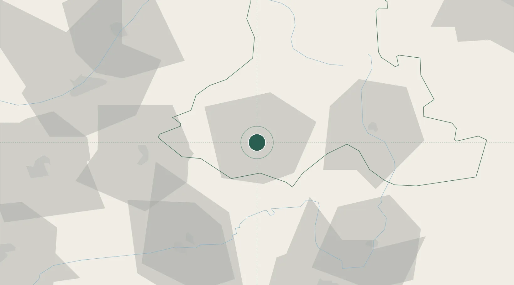
Odorheiu Secuiesc
46.3000°, 25.3000°
36,532
Population
2
Transport functions
Transport Functions
Rail
Road
Hub Profile
Place type
Provincial seat
Region
Harghita County
Population
36,532
Time zone
Europe/Bucharest
Elevation
495 m
Location
Nearby Logistics Neighbours
Cities
- 1Beclean2 km
- 2Cristuru Secuiesc21 km
- 3Albesti36 km
- 4Sovata36 km
- 5Harghita-Bai39 km
Airports
Trade Zones
- 1VGP Park Brasov74 km
- 2VGP Park Sibiu111 km
- 3Free Zone Galați169 km
- 4VGP Park Buharest North209 km
- 5Zona Economică Liberă Bălți216 km
DatabookThe Record of Consolidated Knowledge
Romania beyond logistics?