Transport Functions
Port
Road
Hub Profile
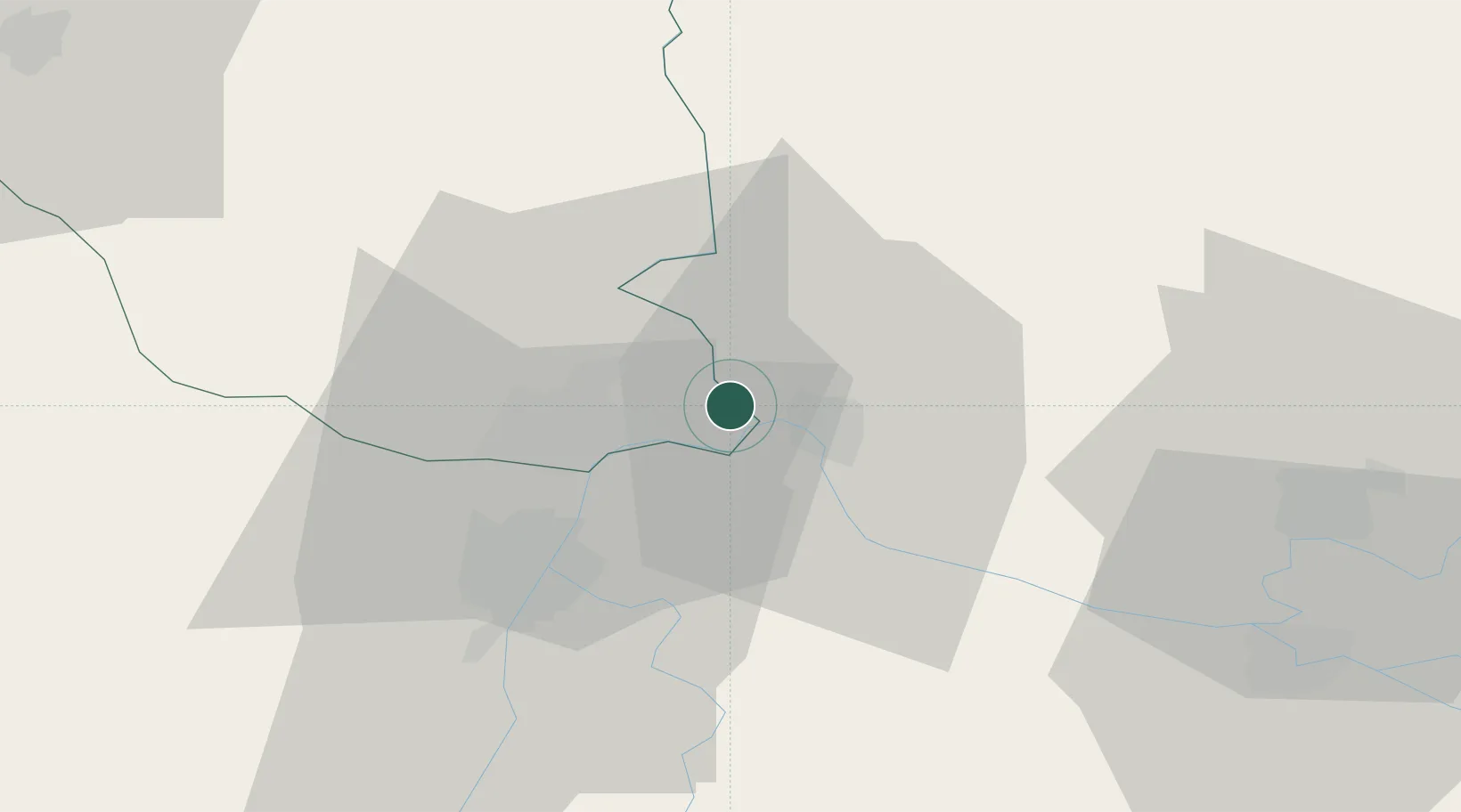
Place type
Populated place
Region
Cahul
Population
3,074
Time zone
Europe/Chisinau
Elevation
47 m
Location
Nearby Logistics Neighbours
Airports
- 1Cahul International Airport42 km
- 2Zhovtneve Air Base43 km
- 3Tulcea Danube Delta Airport61 km
- 4Boboc Air Base98 km
- 5Feteşti Borcea Air Base125 km
Trade Zones
DatabookThe Record of Consolidated Knowledge
Moldova beyond logistics?